I was planning to scramble up Hurd peak for a little training on Friday but that evening I got a text from Kim looking to do Mt Humphreys or Conness. I figured that qualified for training, so I started packing. In about an hour we had her 4wd Tacoma loaded up and were rolling. The road in was a little "exciting" in the dark and at one point we engaged 4wd. We almost stopped at a flat spot but persevered on to the trailhead at the end of the road (the lower one, not up by the aqueduct).
It was rather chilly up at 9,000 feet and I was glad to have my down jacket and puffy pants. The low temps did keep any mosquitos at bay. We cooked up some noodle soup and had a late dinner. Sadly some spilled on the ground, but Kim recovered a fair bit. I took a few night photos under the barely past full moon before going to bed a bit after 11 with an alarm set for 5 am.
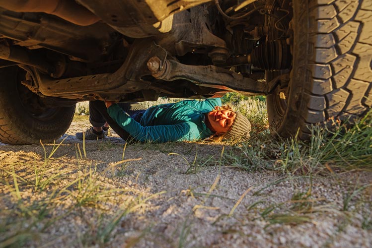
5 am June 29 came way too early, but there was a nice glow on the horizon and we got up and got ready to go. It was distressingly cold for the gear I had brought (probably close to freezing), but when the sun came up it felt much warmer. We were about to leave when Kim cleverly took her bike tools out of her pack. She went to open up the truck but the key wouldn't turn in the lock - the passenger side door already didn't open with the key, so we were a little stuck. We looked around under the truck in the hopes of finding a long lost hide-a-key with no luck. This was a problem that we needed to deal with before we left in case dealing with this meant breaking a window or walking out. Fortunately the windows were lowered a cm for ventilation and I had my Leki trekking poles. In only a few minutes I was able to unlock a door and we got in. The spare key was not as worn (the main key was incredibly worn down) and still unlocked the doors, so we took it and locked up and headed on up the trail around 6:15.
| |
|---|
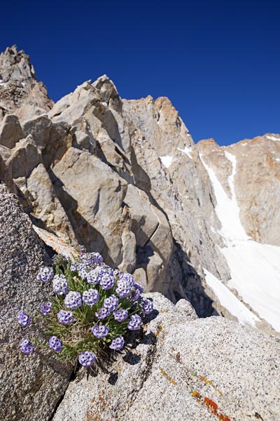
I had done this same route last fall but then we started up by the aqueduct. The higher trail there might save a little elevation but not a lot and the line is not as direct plus the road to the aqueduct start is pretty bad and the parking and turning at the end is quite limited. The biggest difference other than the longer days was all of the wildflowers blooming at the end of June. Lots and lots of wildflowers. We headed up the trail for a little bit before going cross country and up the flanks of the mountain.
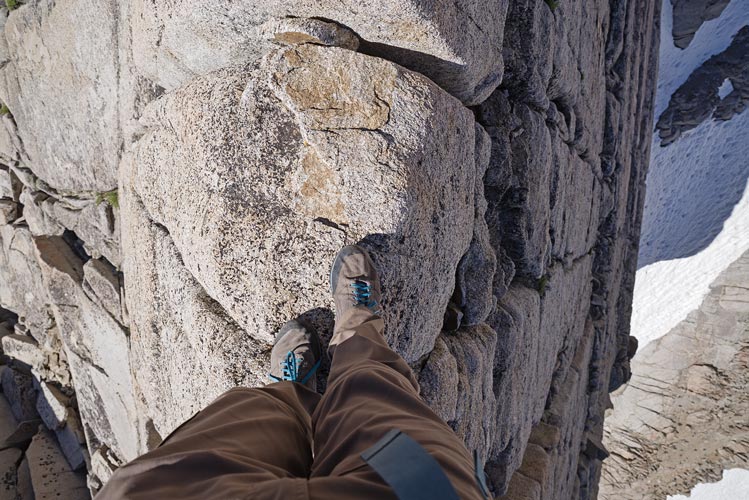
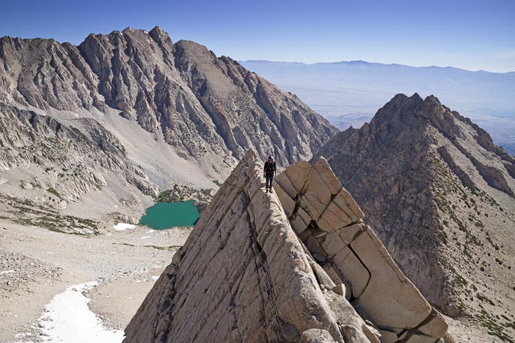
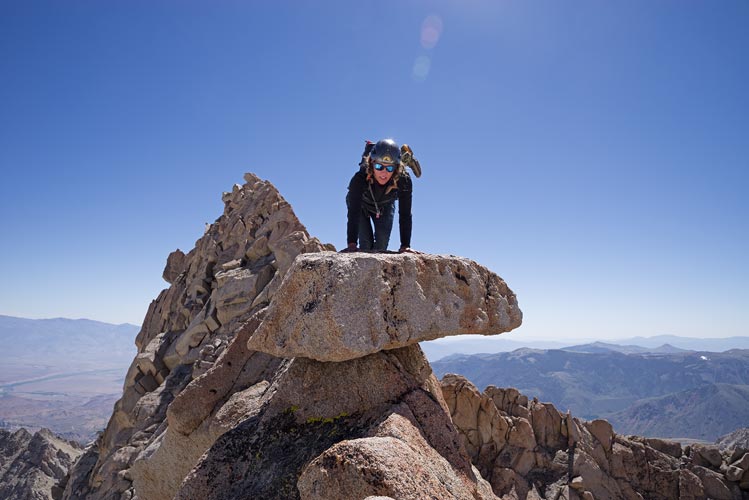
Just getting to the start of the scrambling involves about 2800 ft of up over about 2 miles to 11,800 ft. There I stowed the trekking poles and Kim put on her climbing shoes (she didn't have her sticky rubber approach shoes). Then we headed up the ridge. Most of this is pretty pleasant scrambling and features a nice section of "knife edge" traverse to walk (or crawl) along.
 |
|---|
 |
|---|
 |
|---|
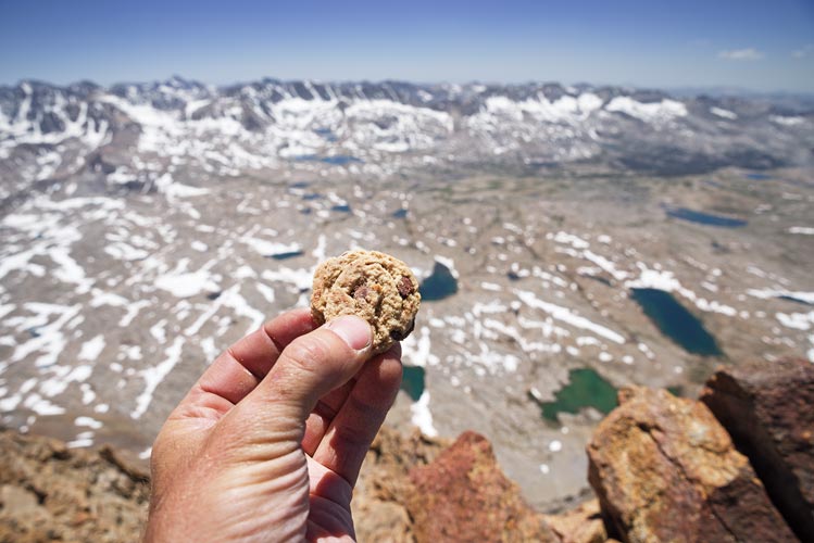
We skipped one section of the ridge that we had done in the fall and required crawling under the edge of a huge boulder perched across the crest. Otherwise we mostly followed the obvious line up to the summit of peak 13,151. There we took a small break and I had a summit cookie (thanks Liz, JD, and Sebastian). The descent from this peak featured one sketchy move (5.7 ish?) but there was a cord and carabiner fixed there so we slung my thin cord and used it as a handline to make the move. We had an apple break before starting up the actual east ridge of Humphreys. Kim's feet were not particularly happy with her so they appreciated the break too.
 |
|---|
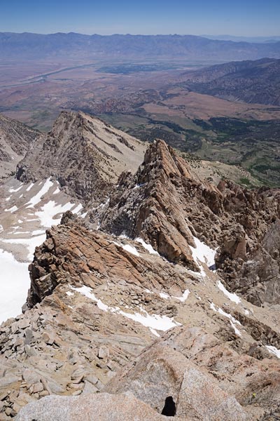
There were a few harder moves up to a ledge and then a very airy traverse around the corner to an easier way past a vertical headwall on the ridge. We used my cord and some hand hoisting to pass those safely. After a few more scrambly bits past some towers things eased up a lot. Kim put her running shoes back on for the last of the ridge and the hike up the sandy slope and the talus traverse to the final headwall from "married man's point" to the summit.
 |
|---|
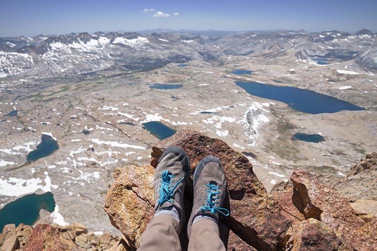
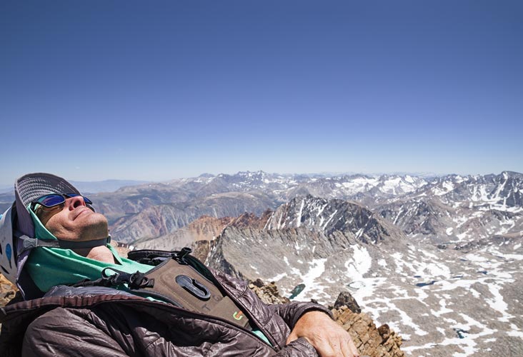
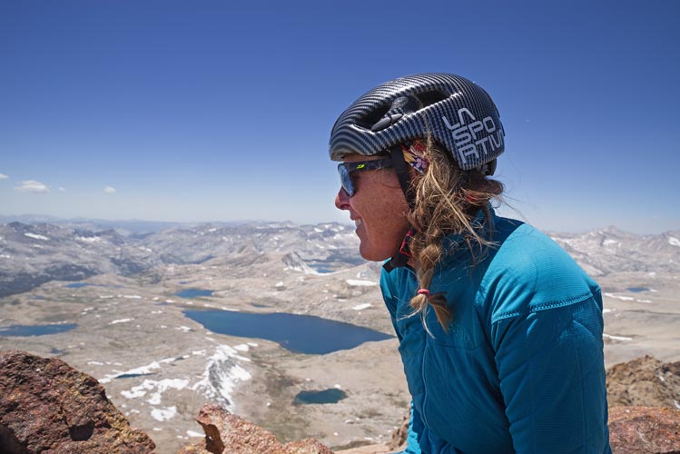
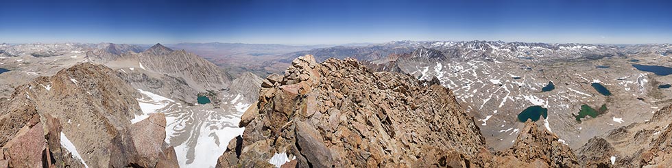
The last bit is steep so the line came out again but soon the terrain eased off and we were on the summit. It was breezy and cool up there (most of the rest of the route was in the sun and out of the breeze) so we were very glad to have some insulation to put on. We flipped through the summit registers, ate some food (including more summit cookies), and mostly admired the gorgeous views in all directions.
 |
|---|
 |
|---|
 |
|---|
 |
|---|
 |
|---|
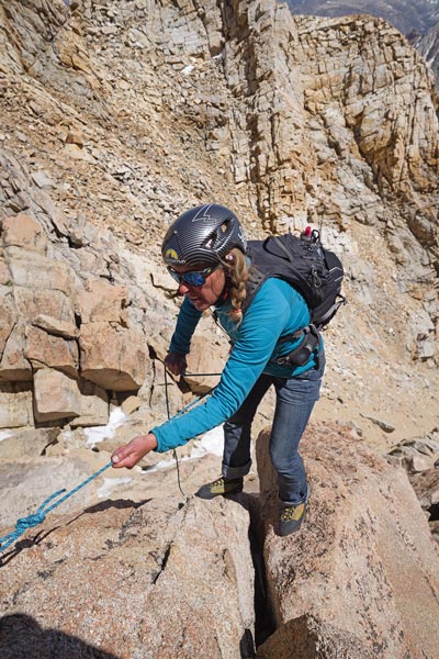
We were a little nervous about the descent, but for the most part it went quite well. We changed the route a bit from the ascent where we could see better options, especially when we were able to set a line for Kim to make short rappels past particularly egregious sections. Then I would untie the cord and downclimb. It would have been handy to have a single length of 30 or 40 feet of 8 mil, but the 25 ft of 7 mil did the trick (along with some fixed anchor points and another cord to sling rock horns).
 |
|---|