Tom Grundy's 2020 Sierra Challenge Day 4 Peak of the Four Winds
8-10-2020 We got up early at the Church and made some tea and breakfast before heading out. We got to the Pine Creek trailhead a few minutes late, but almost everyone was gone. It took a few more minutes to get our act together and by then we were quite a bit behind everyone. We tried to keep a good pace, but I don't know if we did. We certainly didn't catch up to anyone. The Pine Creek trail is fairly boring and tiring up to the first lake (although there is some interesting mining stuff, a climbing area, and a waterfall to admire). From there things are more scenic and interesting, but still somewhat grueling. Maybe by day 4 of the Challenge everything is grueling. The dry year meant there weren't very many mosquitos and the creek crossings were casual.
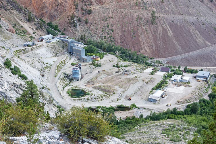
it seems there are less buildings at the mine every year
(but looking at last year's pic it looks about the same)
 |
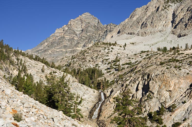
waterfall and Peppermint Peak
 |
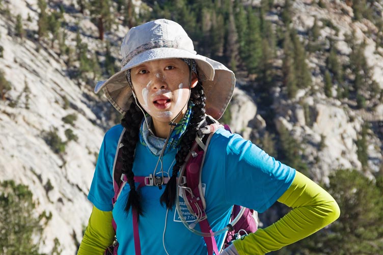
Iris needs to spread the sunscreen out a bit
 |
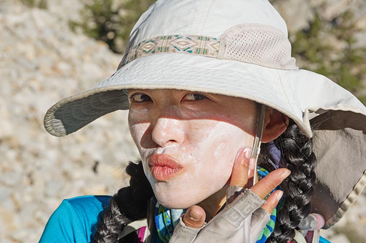
Iris finishes sunscreening up
 |
some of the stone steps on the trail
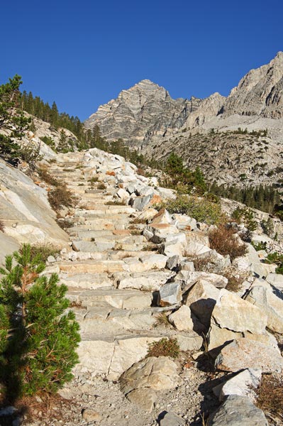 |
We continued on up almost to Pine Creek Pass where we cut off and up the ridge towards our objective. When we got up on the ridge we were able to see various people up ahead going towards the challenge peak, the closest bonus peak, or between the two. We still had a long way to go but we plodded on. I was hoping that we could descend down into the Gable Lakes Basin for the return, so we headed to the bonus peak first. It turns out there was a higher peak to the N and we saw Grant scrambling back from it. He said that was the real bonus peak and was fun scrambling, so we left our packs and scrambled on over to Peak 12580 ft. It was pretty solid 4th class for a few moves, but with a few variations and teamwork we made it over. Then on the way back a number of others passed us heading that way. What was listed as the bonus peak also had an old Lilley-McCloud register so we signed that too before heading to Peak of the Four Winds. We had to drop off the ridge to get there, but it wasn't hard going compared to the bonus peak. There was a bit of storm activity off in the distance, but it didn't seem to be heading our way.
going off trail above Pine Creek Pass
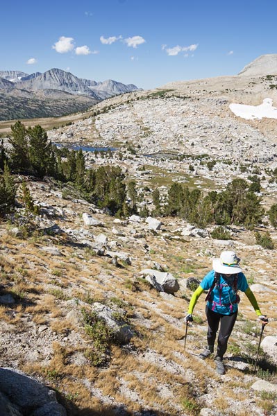 |
panorama from not quite the bonus peak (it is near the center)
 |
Grant checking the register on the peak with the old register
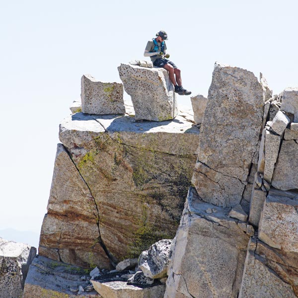 |
Iris scrambling down to get to the bonus peak
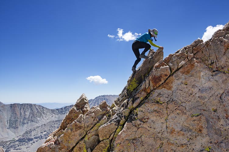 |
Iris scrambling up to the bonus peak
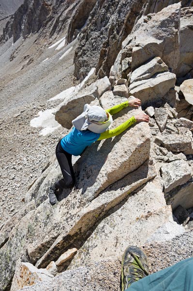 |
Iris on bonus peak with 2020 peak list shirt
 |
Iris on the bonus peak
 |
Iris on Peak of the Four Winds (center right) - the bonus peak is just right of the storm clouds,
Mt Tom is on the right, French Lake middle left, and Humphreys beyond the ridge to the left
 |
The descent to Gable Lakes Basin looked mostly pretty fast, but there were some cliff bands we couldn't ensure we could descend, so we opted for the sure bet and returned the way we came (Fred and Bob returned via Gable Lakes Basin without a problem and it went pretty quickly, so we probably should have gone that way).
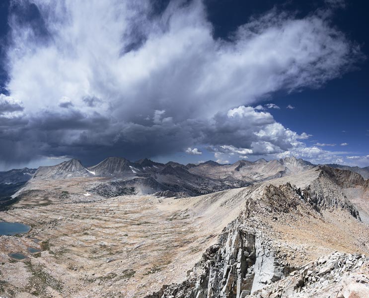
storm clouds over Merriam, Royce, and Feather Peaks
 |
I found an old point and shoot camera on the descent, right next to 3 sets of footprints (1 going up, 2 going down). The pics in it are from 2018, so it spent a few seasons out. There were a few ominous clouds and precipitation off in the distance, but nothing headed towards us. We made it back to the trail and then began the long slog back to the trailhead. More than once Iris pointed out that she didn't appreciate this trail. We made it back eventually though, and then headed back to the Church to reload and wash before heading up the Buttermilk road as far as we could towards the Peaklet. We stopped at a steep uphill where Mason at the top mentioned a water hazard with rocks. Emma was stuck in sand near here too. We backed up a bit and then found a sort of level place off the road to sleep.
Total for the day 2 peaks. Strava said 19.4 mi (iphone 5) or 21.76 mi (iphone x) and 6242 or 7440 ft of elevation gain (Bob's stats are low because they don't start at the trailhead).
No material on this page may be copied or used without permission.


