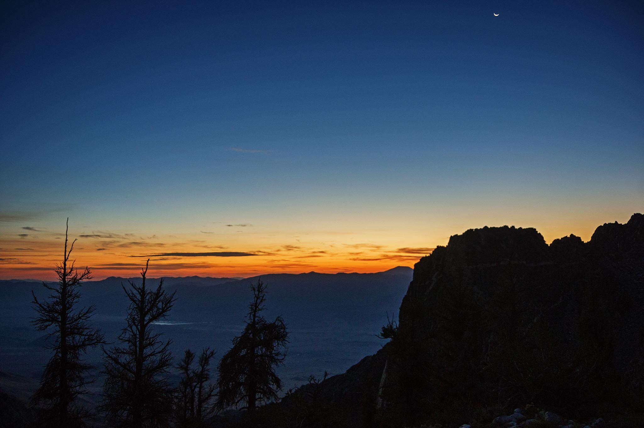
8-16-2020, We were parked at a very low elevation but there was a 4WD road going higher, rather than walk up it we (Iris) had wrangled a ride in Tom Becht's jeep up higher. He had an appointment later that day, so wanted to get an early start. This meant we got up at 3:30 and piled into his jeep at 4. Then we bumped our way up the mountain. We stopped at a flat area and hiked up past the notorious rock that blocked off the road to all but the most nimble 4wd vehicles (at least last time Tom had been up here). Now people had pulled enough rocks and dirt down from the uphill side to partially bury the rock and allow more normal 4WD to get by. We sent a text to Bob to that effect and continued walking.
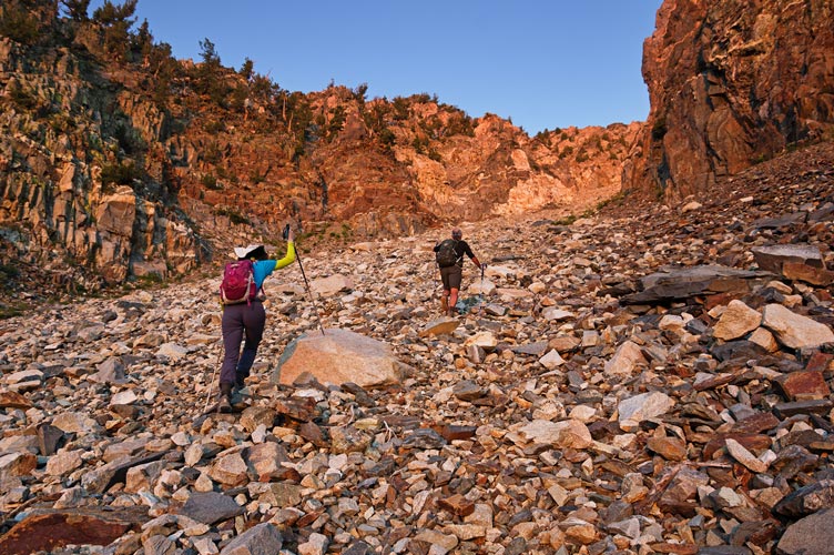
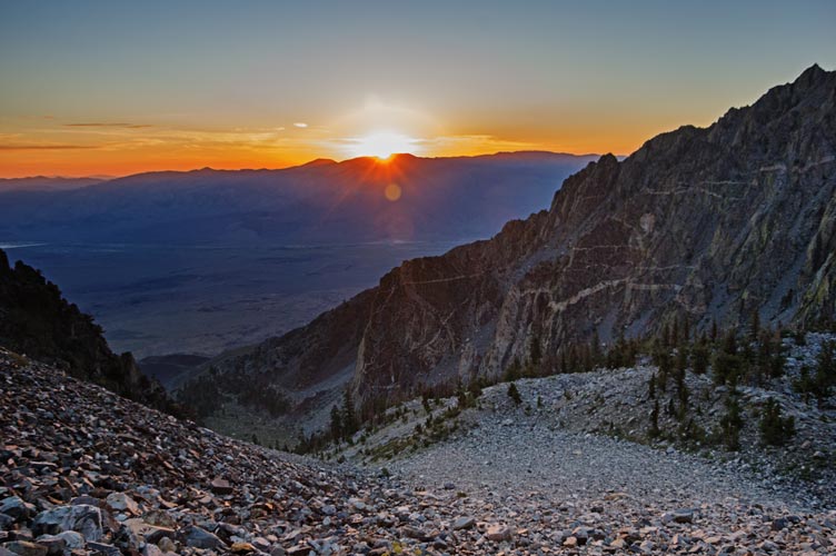
We left the road and headed up Armstrong Canyon as the sky began to get lighter. At first up steep talus and then later on a mix of talus and soil as we approached the giant gully we were supposed to go up. It doesn't look like there is any good way to get to the Sierra Crest up Armstrong Canyon. At first The talus was nice, but soon it started moving under our feet in a most unpleasant way. We detoured up a side canyon that looked a little more stable and headed on up to the top. It was more stable, but not completely so. I just tried to keep moving as I brought up the rear.
 |
|---|
 |
|---|
 |
|---|
 |
|---|
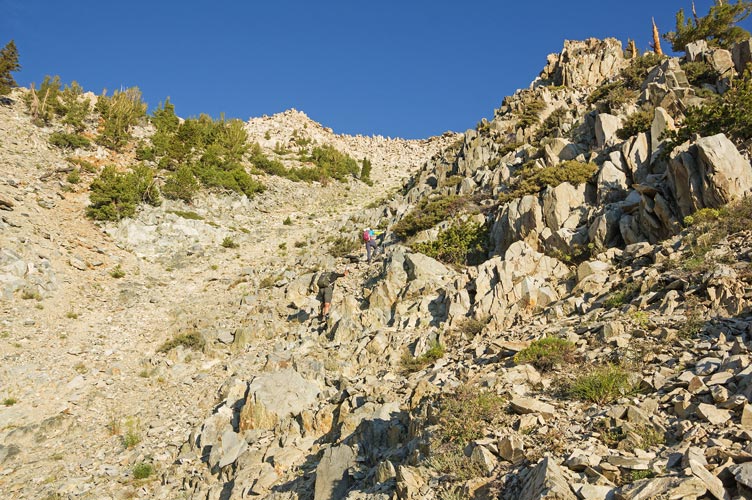
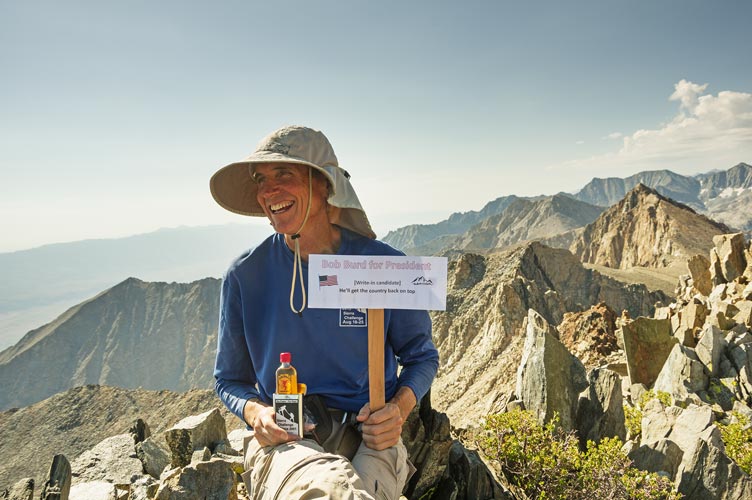
When we got to the top of this chute we traversed on up the ridge towards our peak. We saw a pretty big herd of bighorn sheep including young ahead of us trot on up and over the ridge. We went up the ridge to a saddle and then dropped down across a bowl and headed up more talus to the peak. We were heading up when we got a text from Bob saying he had hit the ridge and could see us. By the time we got to the summit he was coming on strong. Tom set up a "Bob Burd for president" sign and we waited for him to get up.
 |
|---|
 |
|---|
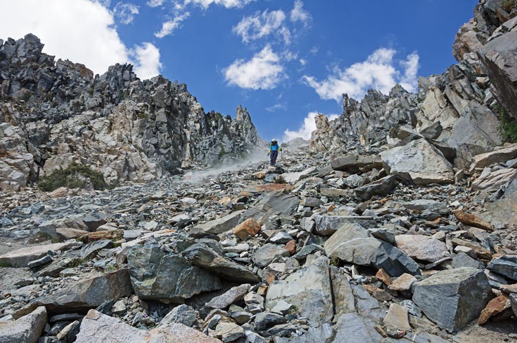
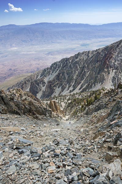
We had ambitiously hoped to do 4 peaks this day, including Wynne and Pinchot, but were feeling tired. but the peaks were right there - meaning they were pretty close and we had done most of the hard work, but still a lot of extra elevation gain and loss. The weather forecast wasn't so good, and our legs definitely weren't so good, so we decided to follow Tom and Bob down (Tom had originally planned to tag another summit too) in the hopes of getting a ride back down the road too. I nearly fell twice in my first few steps off the summit, once because my legs weren't working so well and once when a big rock slid down. After that wake up call things went a little better. We cut left to follow a line of finer scree down into the bowl before crossing the talus and climbing up onto the ridge. We traversed down that to the top of the big gully. There we could see Tom and Bob far below in a cloud of dust. We started down. It was loose. This was fine when the rocks were smaller than a golf ball and mildly annoying at the baseball size, but it got a little alarming in the shoebox to television size. We took turns sliding down the river of rocks and then getting out of the flow. There was a lot of dust too. A few times I had to dance out of the way of larger rocks coming down behind me. Once that involved slipping around until I was sliding backwards down on my belly. ugh.
 |
|---|
 |
|---|
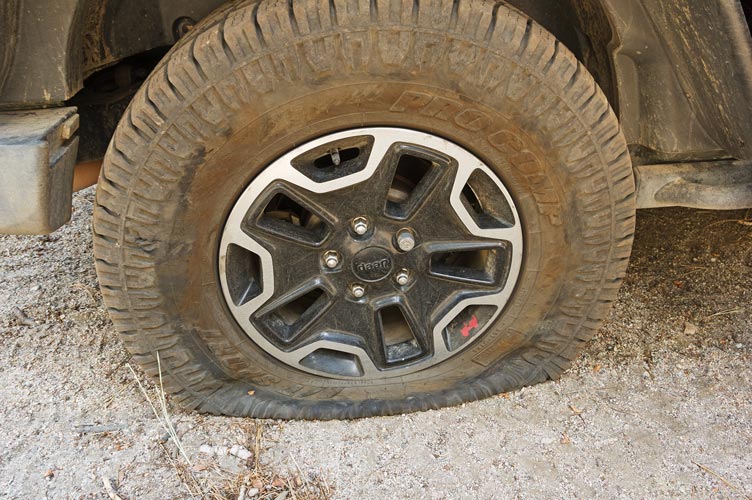
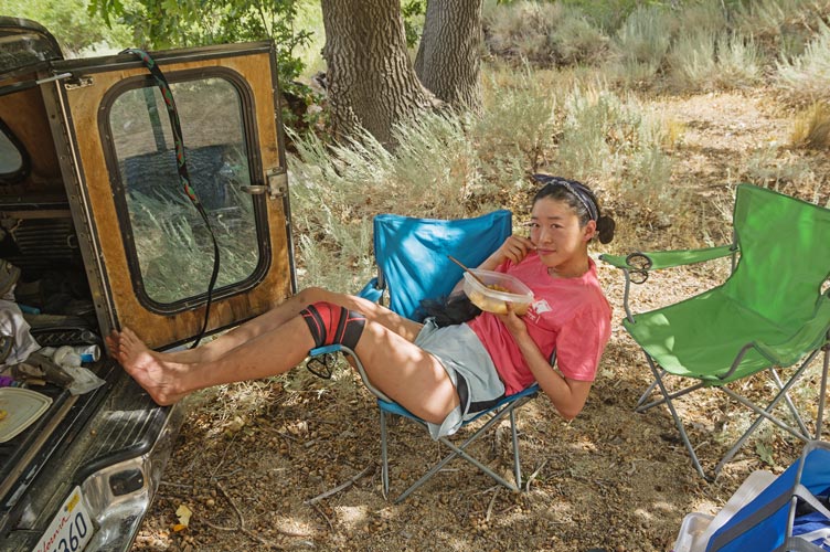
We slowly worked our way down and to the slight ridge below and finally to the road. Bob had given Tom a ride back to his Jeep and then he came up to pick us up. We met partway down because we kept walking, but there wasn't a good place to turn around so we continued back up to where Bob had parked. Then we went on to a camping area to take a look at it. Unfortunately a sharp rock ripped into a tire as we went into the camping area, so we got to put on the spare before we could head down. Then I got out to move a few rocks out of the way where we passed the big rock and a few minutes later I thought I had lost my sunglasses. I went back to look for them and couldn't find them, but Tom and Iris found them wedged next to the seat. Then we headed back down to the hot truck at Scotty's Spring. At least it was in the shade of an oak tree. We had some protein shake and food and then packed up and headed home. This year the challenge sort of ended with a whimper, but that is sort of how I felt too - just used up.
 |
|---|
 |
|---|
Total for the day 1 peak. Strava said 6.06 mi (iphone 5) or 6.66 mi (iphone x) and 5830 or 6080 ft of elevation gain.