Tom Grundy's 2021 Sierra Challenge Day 1, Davis Lakes Peak
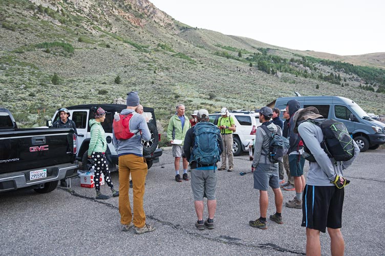
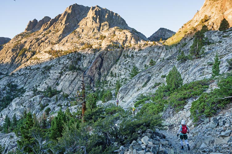
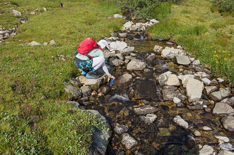
8-06-2021, I got everything together and prepared to hike. It was a little chilly so I was wearing a sweatshirt. Iris and the fishermen joined us for the start photo, and then we were off. I mostly hiked with Renee with a few little breaks to shed layers or grab out more food. We worked our way up the trail, up the tramway, and more and more up the trail. Finally we passed a number of lakes and then left the trail along with Trey and Clement. We managed to take a better path or less stops so that we made it to the final meadow before them. We stopped to fill up on water there, although in hindsight we should have waited to get it a little higher as there was plenty flowing down through the talus above.
getting a few words of wisdom from Bob and Evan before the start
 |
following Renee, Chris, and Clement up towards the tramway
 |
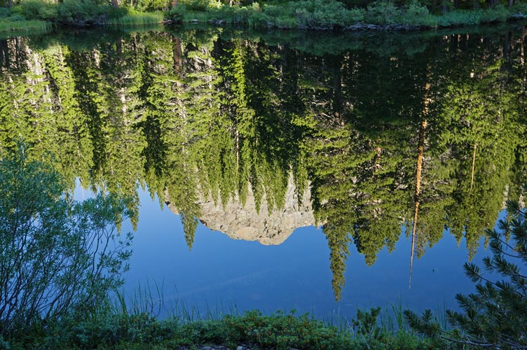
I'm a sucker for a good reflection
 |
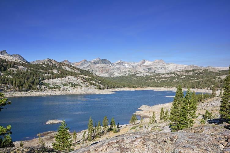
Waugh Lake - the 3 peaks we did are to the right of the ridge center left
l-r = Davis Lakes, 11,981ft, and Rogers (the highest just left of center)
 |
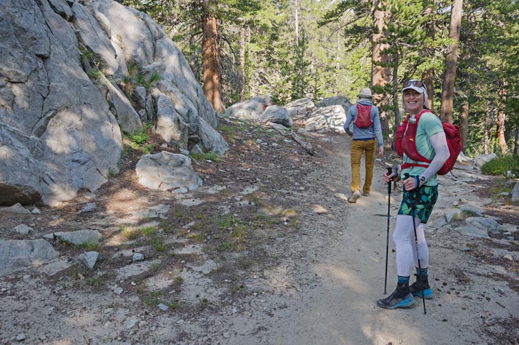
Renee and Clement about where we hit the PCT and then left the trail
 |
Renee getting water
 |
My initial energy was flagging a bit by now and I was falling behind. As we neared the final ridge we could see someone (Trey) on the ridge ahead of us and Chris Henry caught up. We made it to what appeared to be the summit around 11 am. According to the level in my camera and peakbagger and Trey (when he returned) it was in fact the high point of the ridge. We signed in, ate the first of many summit cookies, looked at the smoke wafting in behind us, and plotted our next moves. Originally I planned to head over to Davis Peak, but that looked pretty involved. Bob also came up shortly after we were there. First up - a bonus peak to the northwest that Clement had already visited. Meanwhile Clement and Renee headed back to the trailhead.
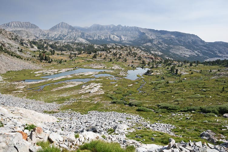
looking back at the last meadow, note smoke creeping in
 |
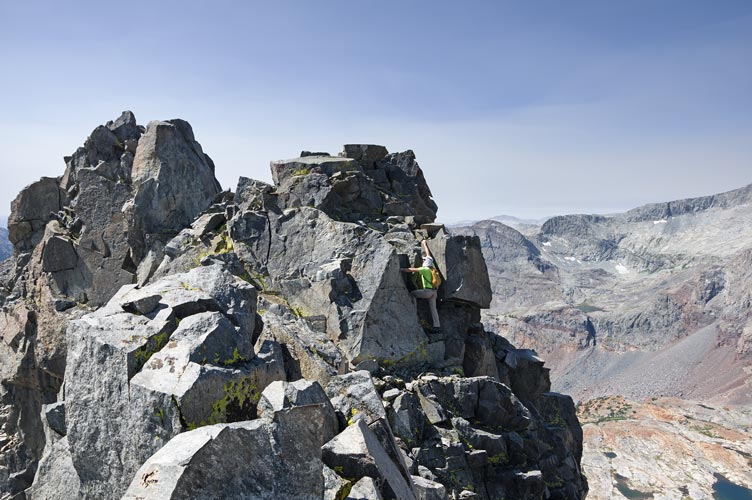
Chris scrambling up towards the summit
 |
summit cookie time
 |
panorama from Davis Lakes Peak to the south and eastish - Davis Lakes below and Davis to the right
 |
panorama from Davis Lakes Peak to the north and westish with Chris, Bob, and Renee by the summit
 |
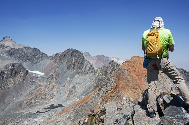
This bonus peak (11,981 ft) was along the ridge with an intervening peak. Chris and I went up and over it while Bob picked up some time passing around to the NE. We gained most of that back by staying high in the next saddle and worked our way up to the summit. Once again I was flagging a bit on the last uphill.
Chris looking towards 11,981 from the intervening peak
the Challenge is hard on pants, but the hole allows a show of dominance with the red rump patch
 |
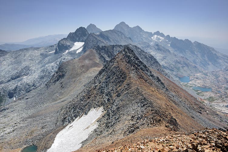
view S down the crest from 11,981 with intervening peak and Davis Lakes Peak before Davis
and then Banner and Ritter - Neglected is down the ridge rt of Ritter
 |
panorama from Peak 11,981 - Rogers is to the right of Chris
 |
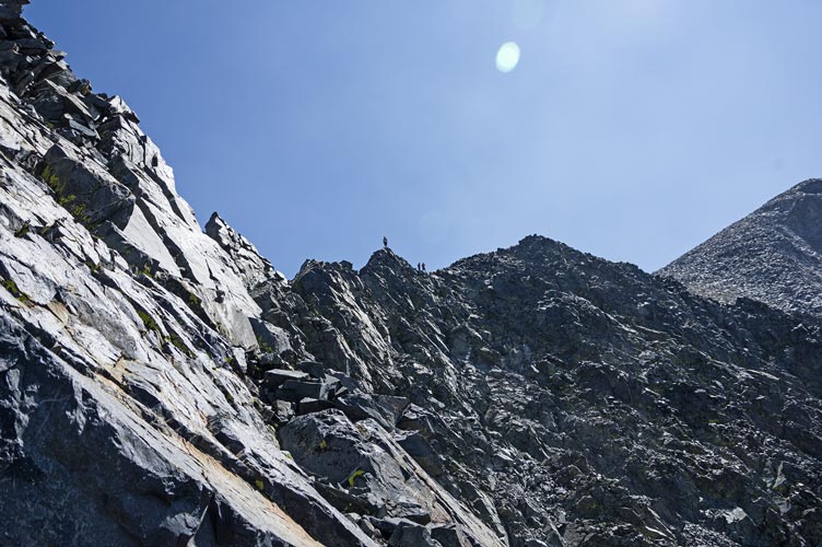
From there Chris and I decided to head to Rogers Peak to the west. We probably should have dropped down the west side and worked out a way to get up from there, but instead we dropped down to the east, then north, and then up the usual route to Rodgers. This took a long time. As we neared the most exciting scrambling up we passed some other Challenge participants heading down, Sean C and Rafee and Daiyi. Then we had the final talus slog up to the 12,978 foot summit. I was tired. I think Chris might have been tired too, but he was moving faster.
Sean, Rafee, and Daiyi descending up above us
 |
panorama from Rogers Peak - Lyell on the left, Ritter on the right
 |
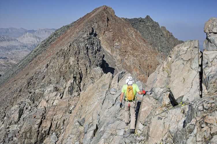
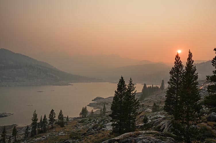
As we descended we could see the smoke to the east was getting thicker, especially at lower elevations. We returned down the way we came up but deviated to the north as we got lower. We got water at a lake and decided swimming would take too much time (although it was tempting). Then we continued down past the Marie Lakes and side-hilled to an old trail down the hill. We followed that to the PCT south and then turned onto the trail past a low Waugh Lake. This was where we really noticed the smoke - with a hint of a smell and irritation. It seemed like the trail had grown during the day and I tried to keep up with Chris past the lakes as the light faded although I think we were slightly ahead of when I did Electra with JD in June 2015.
Chris descending from Rogers
 |
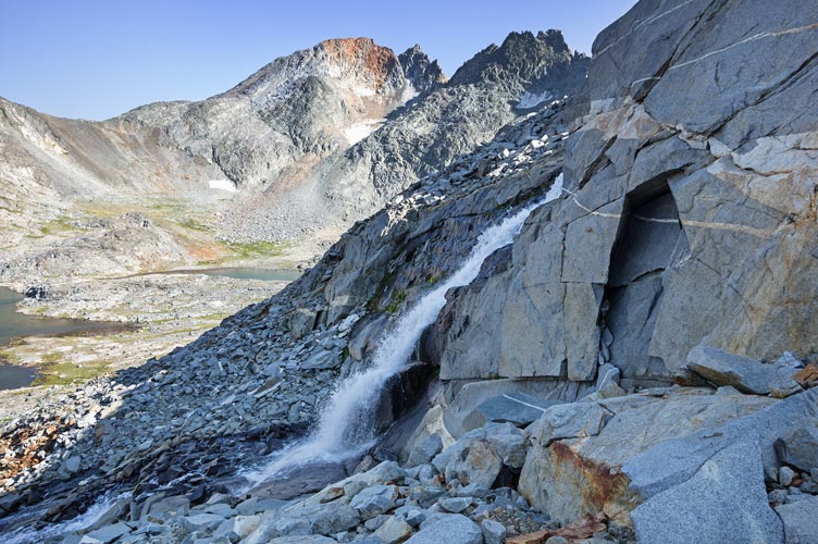
a waterfall - the second peak of the day is center left
 |
panorama by the waterfall
 |
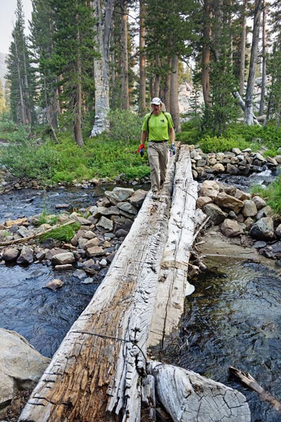
crossing the creek
 |
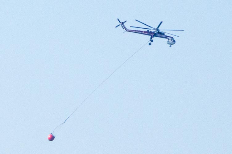
insectoid helicopter with water bucket
 |
smoky sunset
 |
I put on my headlamp near the end of Gem Lake and continued on in the bubble of light trying to keep up with Chris. He waited at the the tramway turnoff and we headed down that. I had trekking poles so could go slightly faster on the steeper loose descent, although I still slipped on my butt once. I also tried to leave the tram a bit early but we quickly realized the error as the trail went uphill. As we turned south we could see lights below. Near the end we caught up with Zee who had a long day going to Davis. We finished at ~9:45 for a total of 15:45. Probably not the best way to start off a Sierra Challenge - at least not if you aren't in better shape.
I wasn't moving particularly fast or efficiently as I mixed up some protein powder and started eating a can of chili mac with chips (warmed from being in the hot truck) and driving to the next trailhead for not enough sleep before day 2.
Total for the day 3 peaks. Strava said 27.2 mi (moto gpower) and 9272 ft of elevation gain in 15:45 hours.
My Strava Page for Day 1 of 2021 Sierra Challenge
No material on this page may be copied or used without permission.


