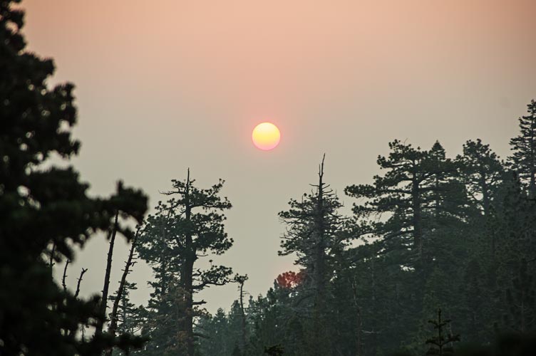
8-07-2021, I thought I was all ready to go and distributed a few more T-shirts waiting for the 6 am start time to roll around. Just before it came I realized I hadn't filled my water bottle - so I was quite rushed and the last person to make it over to the start pic. I wasn't with the fastest group, but probably was the second group up the trail. Things were a bit smoky and an orange-red sun rose through the haze to the east as we got higher. Fortunately we left most of the smoke behind in the valley and were above it for most of the day.
 |
|---|
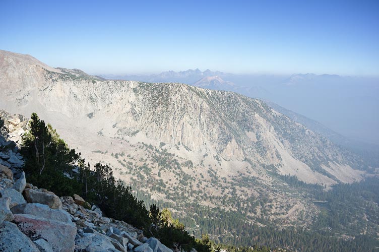
Grant caught up with Renee and I about where we wanted to head off the trail to go up the slope to Lost World Peak (or maybe we wanted to leave a bit earlier). So off we went. Soon he was far ahead of us as we worked our way back and forth up the steep talus slope trying to balance solid rock with a lower angle. We saw Bob and Chris cutting in from the left (they left the trail earlier) and made it up to a false summit. From there we just made our way along the ridge to the true high point. I was definitely not in the first group to arrive. Photos, register signing, summit cookies, and talk followed. I also realized with horror I didn't have my phone with me. I had it for sure just before the false summit when I put lip goo on, but after that? I got Chris to call it and luckily it rang out from the rocks behind and below me. phew. I had either set it aside or it had slipped out of my fanny pack while I sat there.
 |
|---|
 |
|---|
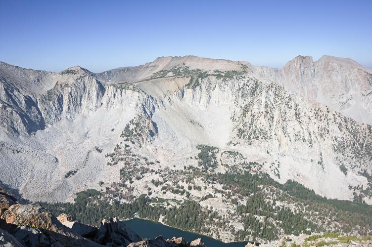
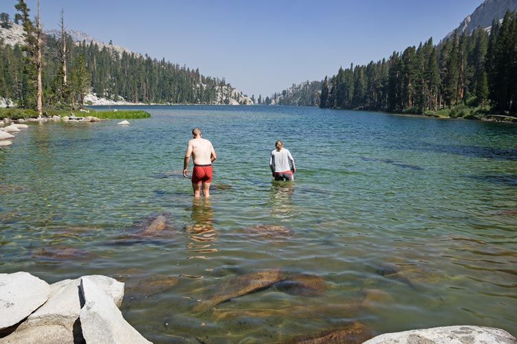
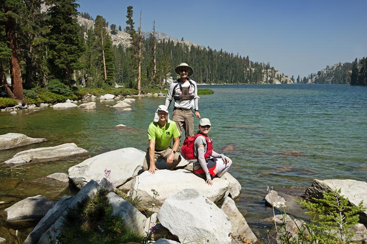
Renee and I worked our way down towards Valentine Lake at first on steep talus and then into a gully where we caught up with Chris. We had to dodge a few cliff bands and loose sections but for the most part it went slowly and steadily. Back down we got water at a little stream and then worked our way along a on and off use trail to the head of the lake where we all jumped in for some cool relief. Then Chris and I headed up the next peak while Renee headed back down in her soaked cooling outfit.
 |
|---|
 |
|---|
 |
|---|
We headed SW across the valley bottom, large talus, and then up the slope. This was tiring uphill work but presented few difficulties. Then as it steepened we cut left towards what we thought was a weakness in the cliff we had spotted from Lost World Peak. This was in fact a good way to go and we worked our way up the steep notch mostly sticking to the edge where the rocks were a little more stable. As we turned the corner we heard someone else knock a rock down ahead to our right but didn't see them. We continued on up the more solid ridge to the Plateau above the cliffs. There we started to see people coming down from Duck Pass Peak - the second challenge peak of the day. We could also see people on top of the high point of the ridge.
The people coming down confirmed that the highpoint was where people were, and that it wasn't too hard to get to either straight up or along the ridge. We found a way through a bit of a krummholtz maze and then worked our way across and up to the ridge. Grant was the only one left when we got there (he had taken a much longer path to get there) and we spent some time talking with him before joining him for the descent back the way we came up. I had originally hoped to climb Herlihy and Pyramid, but they looked not so easy (turns out Clement said fun 4th class) and I was tired.
 |
|---|
 |
|---|
The descent went a lot faster and after we passed the cliffs we headed more to the left to skirt around the SW side of Valentine Lake. Eventually we hit a use trail and then after crossing the outlet we were on an actual trail. For the most part this was a good trail, although some of the switchbacks were pretty ridiculous. When you can literally step from one switchback to the next without stepping off the trail and the trail loops another 50 or 100 feet there is something wrong with the trail. Grant left us here and jogged down the trail. We continued on past a cool spring and a stop at Sherwin Lakes to swim. We were able to pick up a 2fer here by swimming in one and then just putting on our shoes to walk over to the next one for another dip. The water was quite low and fairly warm. It felt good and we didn't think about or notice any leeches (which someone mentioned the next day). Then we headed back to the trailhead.
I drove to the Duck Pass trailhead to pick up Iris where the fisherfolk had returned and then down to a pizza place to be social a bit before heading to the next trailhead to sleep.
 |
|---|
Total for the day 2 peaks. Strava said 14.3 mi (moto gpower) and 6638 ft of elevation gain in 11:25 hours. Chris' tracker said just under 6,000 ft of elevation gain.