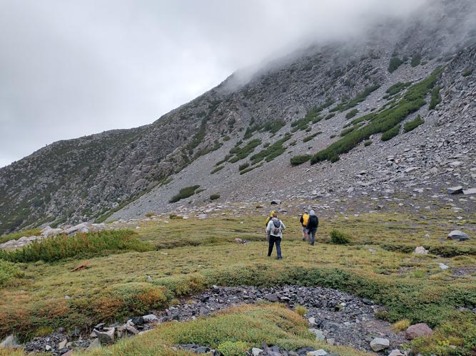
8-05-2022, The day before the forecast kept looking worse and worse - with a lot of rain, all day, with a good chance for thunderstorms and maybe even flash floods. The rain total forecast maps looked a bit like a red bullseye centered on our destination. When we met up with others at Bridgeport there was a lot of uncertainty, Sean said that any peak above that drainage would count as a challenge peak since a 20 mile day to a roped technical climb on poor rock seemed like a bad idea. We still hoped we could do the actual listed peak, but things were looking doubtful. We decided to get up early to see what the weather was doing and decide then. It actually was dry most of the night but around 4 am or so it started raining and was still raining when the alarm went off. The plink of the rain on the roof was a perfect sign for a lazy day and I really just wanted to roll over and go back to sleep. Instead we got out of the vehicles in the rain around 4:45. We decided that Ink Rocks was a bad idea and instead to head up to Walker Peak early to lower our lightning exposure. 4 of us headed off in the rain and the dark. I didn't bother bringing my dslr, but I did bring a big raincoat. Mazon and Zee split off to go do another peak and Chris and I headed cross country up to a ridge - it was quite wet pushing through the brush and soon my legs were soaked. Fortunately hiking uphill generated enough warmth that I wasn't very cold.
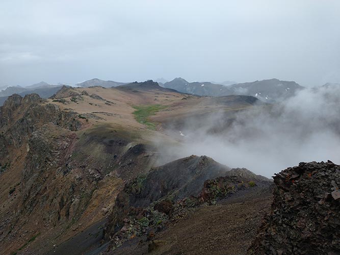
Once we got onto the broad ridge the going was a little easier although we still had to push through a bit of wet foliage. We even found a bit of a trail for a while complete with little reflective twist ties. We continued up the ridge over a series of false summits as the rain eased off. Some had slippery lichen covered rocks but mostly the going was pretty straightforward. We were in and out of the clouds when we got to the first summit - Hanging Valley Ridge High Point at 11,379 ft- the view down to the hanging valley in question was pretty cool as it looked a bit like iceland with volcanic rock and sparse vegetation as well as a stream and a little bit of dirty snow all wreathed in clouds. We also saw a group come over the false summit behind us headed our way. We waited for them to show up and got a bit chilled once we stopped moving. At least it wasn't actively raining any more.
 |
|---|
 |
|---|
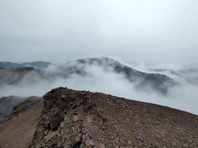
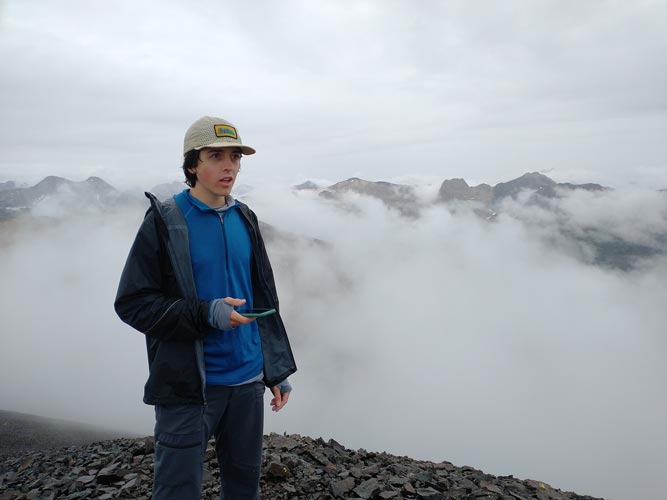
We dropped down and crossed the hanging valley and headed up to Walker Mountain at 11,563 ft. The views were pretty good, but I suspect they would have been even better with a little less clouds around us. It did lend a mysterious air to things though. Then we dropped back to the hanging valley and followed it down to the river valley. Things got a little messy pushing through the brush near the end but we made it back to the trail ok and headed back towards the trailhead. On the way we passed Hunter heading up.
 |
|---|
 |
|---|
We finished after only 6 hours - before noon with our early start. I got a ride down to where Iris had moved the Element and then drove down to Ridgecrest to meet up with others. It was very odd to have so much free time during a challenge day and I didn't take as much advantage of it as I should have (more sleep). It was nice to talk with folks though.
Total for the day 2 peaks. Strava said 10.87 mi (moto gpower) and 4016 ft of elevation gain in 6 hours.