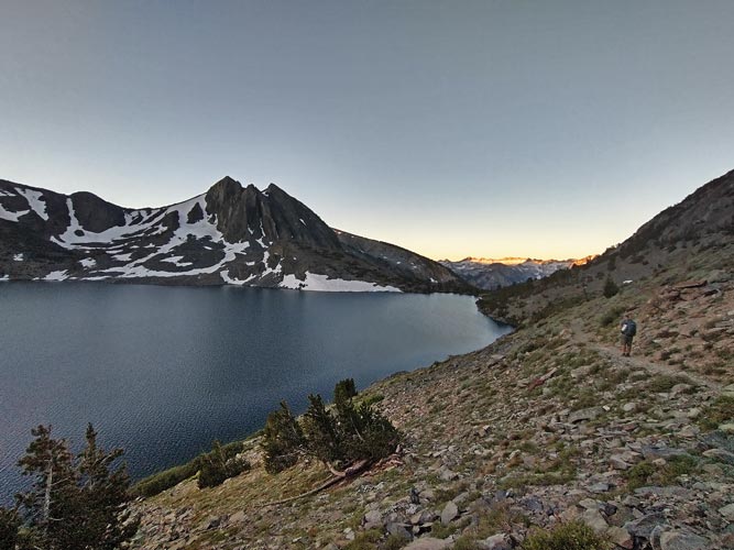
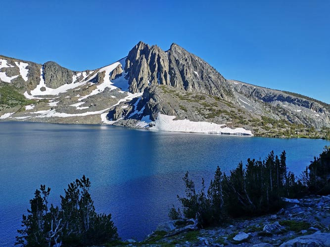
8-06-2023, We hadn't been able to glean a lot of information about Piscator Peak - there was a reported 5.8 climb up a buttress, but not much other info. In light of that I teamed up with Mason and Chris and Matthew to bring a bit of climbing gear in case there was actual climbing needed to get to the summit. We also left early, getting up at 4 am and then departing when we were ready to go - about 4:40? I wore comfy long distance shoes but brought a pair of evolv cruzers - not quite climbing shoes, but much better than floppy running shoes. We hiked up towards Duck Lake Pass in the dark. We started hitting patches of snow as it started getting light. We were able to step across them without traction devices or avoid them on either side. The sun was up by the time we got to the pass and I remarked it was going to be a long time before we would be back here.
 |
|---|
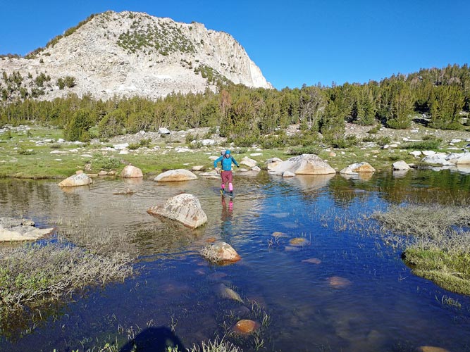
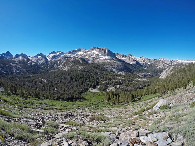
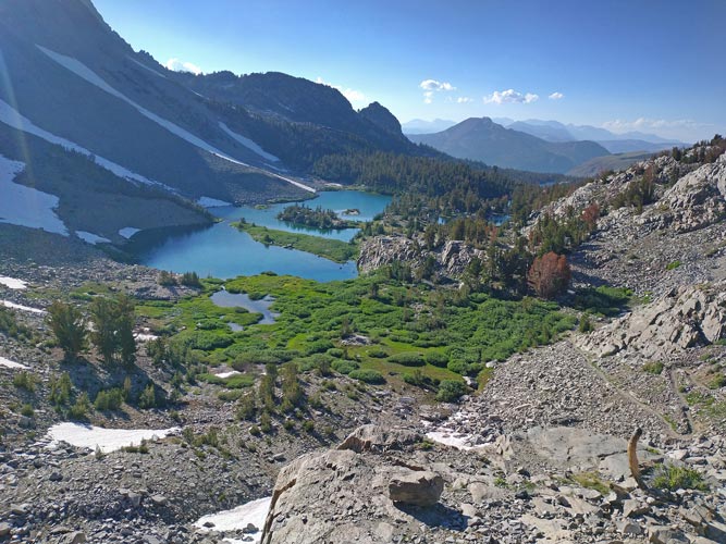
We continued on the trail down past the outlet of Duck Lake and down to the junction with the PCT/JMT which we followed past Purple Lake and the previous 2019 Challenge Peak of Virginia Crag Peak. We were passed by the faster people who started later during this stretch although we saw one of them on the far side of the Virginia Lake Crossing when we got there. The rocks were at least partly underwater, so I took off my shoes and waded across and put them back on - and then discovered there were 2 crossings. oops. Off with the shoes again. Then we hiked along the other side of Virginia Lake and around to above Tully Hole. We could see Piscator Peak on the other side of Tully Hole - a deep valley. The N side of it looked pretty steep and broken up. We dropped down into the hole knowing that it would be a pain to climb out of later. Then instead of crossing Fish Creek here and heading up towards the NE side of Piscator we continued on down the trail past the raging creek dropping lower and lower. I hadn't really looked at the map/peak so I went along although I was not happy about the continued loss in elevation that I knew we would have to make up later. Also the river crossing looked ugly.
 |
|---|
 |
|---|
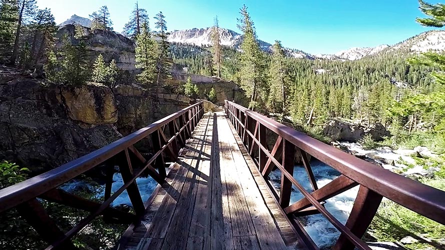
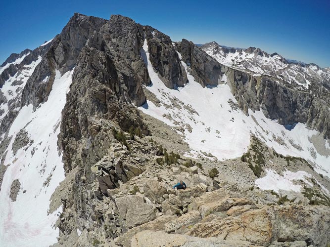
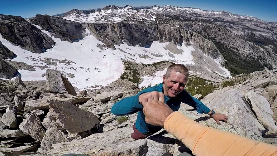
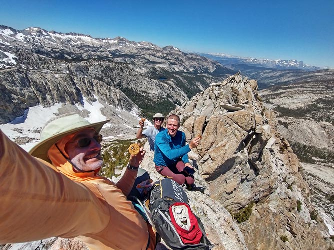
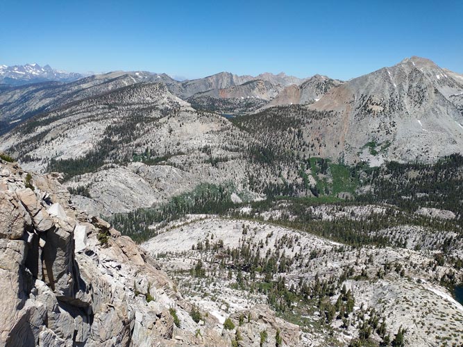
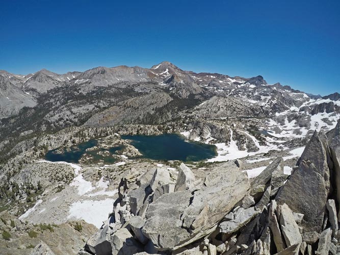
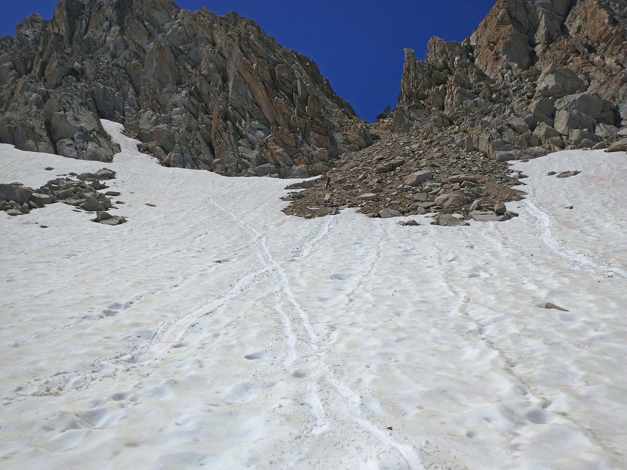
The river crossing issue was solved with a bridge, but we still had to gain all that elevation back - we headed off into the woods up towards the SW side of Piscator. This turned out to be a steep bushwhack that would have been rather slow and annoying except that it was very buggy. The mosquitoes did not help as we sweated our way up the steep slope dodging trees and cliffs. Eventually we broke out into the valley on the SW side of Piscator and worked our way up the snow and talus to the notch SE of the summit. On the way we could see people on the summit far above. They were coming down when we got to the notch so we got a bit of beta from them on how to get up. We didn't need our ropes, harnesses, or gear, but we did don our helmets and better climbing footwear and left trekking poles and other gear at the notch before heading up. The ascent was a pretty fun scramble - probably class 4 at the worst, but the hardest climbing was in a chimney, so fairly secure. We went up to the 3 summit blocks, climbing all of them as the highest was the farthest one. There we enjoyed the views and food before retracing our steps back down and then dropping down to the NE down the scree/talus and then the snow to the lake far below.
 |
|---|
 |
|---|
 |
|---|
 |
|---|
 |
|---|
 |
|---|
 |
|---|
 |
|---|
 |
|---|
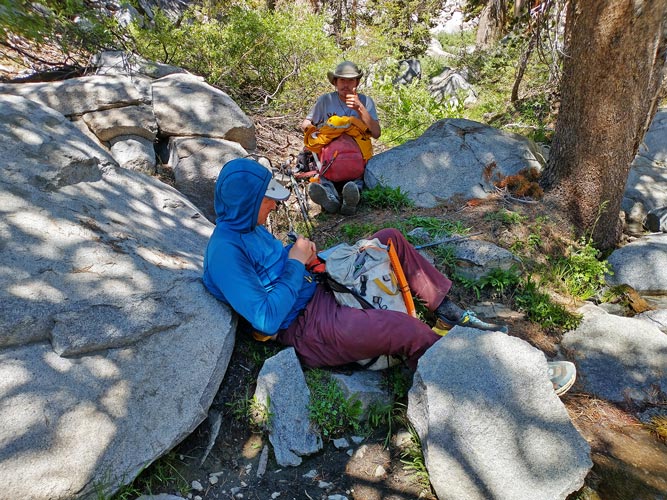
From the lake we worked our way NE and then followed the ridge down into Tully Hole. There we followed the trail to the river crossing and waded across (I took off my shoes, the others didn't). I managed to get the end of a pine needle stuck in between 2 toes which annoyed me until the crossing at Virginia Lake where I removed it. Then we had to power our way up the hot switchbacks out of Tully Hole. On the way Clement passed us hiking out - he had continued up the ridge from Piscator to Old Isaak Walton Peak. We took a break at a small creek flowing into Virginia Lake and then another break at the crossing at Virginia Lake for a refreshing swim.
 |
|---|
After Virginia Lake it was just a matter of lots and lots of trail miles back to the trailhead. We pushed through our growing exhaustion and made it out before dark (barely). A long day to a cool summit.
 |
|---|
 |
|---|
Total for the day 1 peaks, one swim. Strava said 27.4 mi (moto gpower) and 7972 ft of elevation gain in 14.5 hours.