Tom Grundy's 2023 Sierra Challenge Day 9 Crabtree Crags Page
8-12-2023, This was a long day, with a 4 am start. I got up and ready and joined the crew hiking down the trail in the dark. I mostly kept up with the main pack up to Cottonwood pass where the group started to split up a bit. After passing Chicken Spring Lake I tried to keep up with some downhill jogging and mostly stayed with the group until we started a more steep downhill section. I did stumble and nearly faceplant along this stretch, but barely managed to keep on my feet. At least it was light by then. I waded across Rock Creek in the presence of a number of backpackers and then dried my feet and put on my shoes on the far side. It was ~ 8:15 am and I had been averaging just over 3 mph for the first 13.8 miles. Then there was a lot of uphill to be done. I probably should have collected a little more water at the last stream crossing, but I had enough. I followed the trail all the way up to the pass between Guyot and Crabtree Crags and then headed off-trail. I probably headed a little too far west of the optimum line, but ended up sidehilling instead of just going up the ridge. I suspect I didn't take the best route, but maybe I was just tired and moving slowly by now. In any case I could see the group I had been jogging with on the summit ahead of me but they left before I got there. As I got closer I could see another group (Mason and Matt) coming in along the ridge but I was able to get there before them. Soon they got there and shortly after that we could see one more coming up - it looked like Jeff - and sure enough soon he made it up too (he started around 2 am). The views towards the N and towards mount Whitney were pretty excellent with clouds billowing and flowing over the crest. Mason and Matt left, and a while later Clement showed up right before Jeff and I left heading down via a more southerly route.
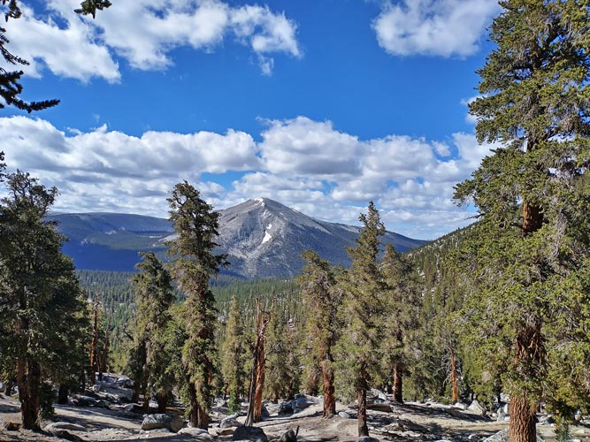
the sky started getting light as we passed Chicken Spring Lake
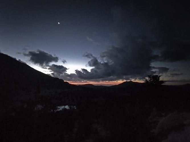 |
following Marc and others down the trail
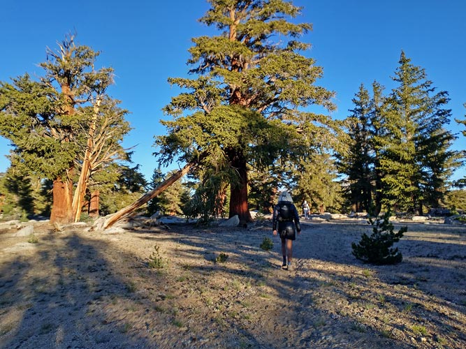 |
the somewhat tedious rock and scree up to the summit
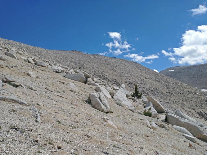 |
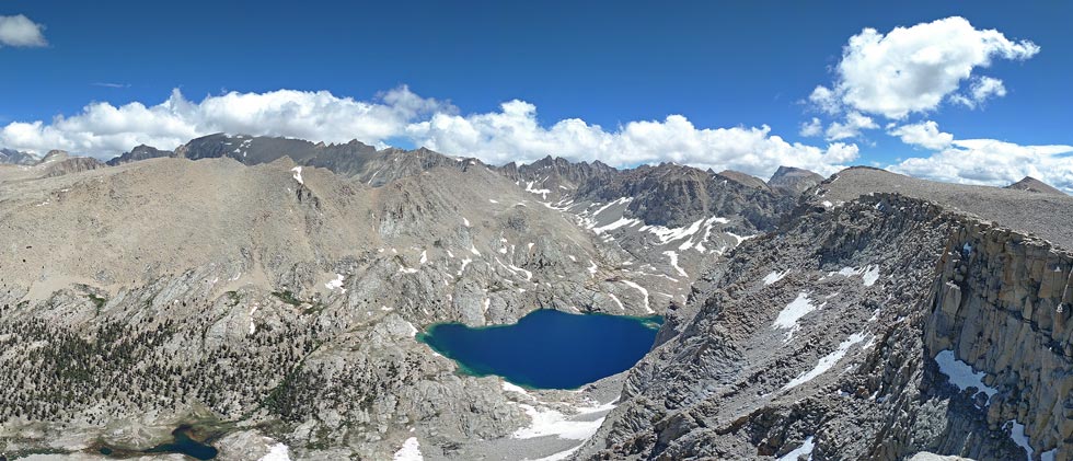
panorama from the summit - Whitney is in the center
 |
cropped in on panorama from the summit - crabtree lakes - Mount Chamberlain is on the right
 |
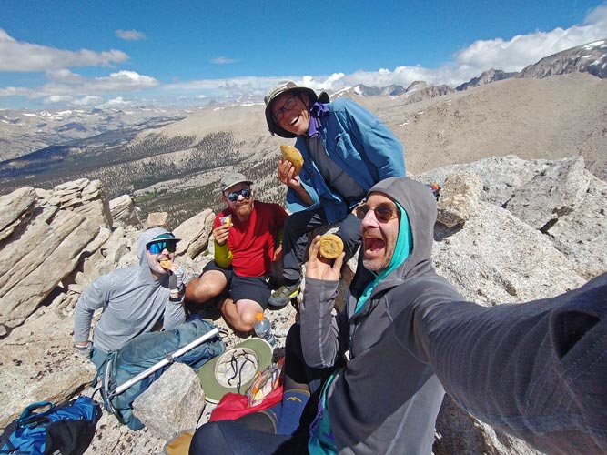
Summit Cookies!
 |
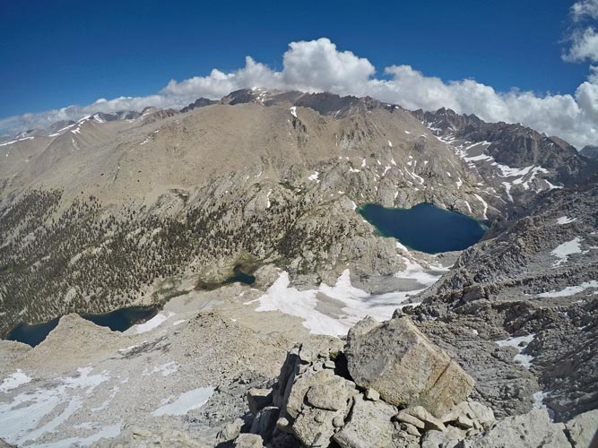
a wider angle pic from the summit
 |
We worked our way down the steep slope and then vaguely followed a stream back to the PCT. We didn't always follow the stream edge because it was less direct and because it was often swampy near the bank. Back at the trail we ate some more food and then started down the trail. There we were met by Chris who had started early and did a number of bonus peaks (I had already done most of the bonus peaks in the area so was not lead into temptation) as well as some others. We crossed the creek and took the time to get an aqua jersey point as well as ice-bath our legs a bit. Somewhat refreshed we headed on up the trail stopping to refill water and refuel at the last water for a long stretch.
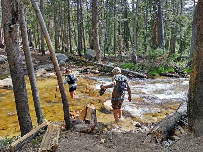
Rock Creek crossing
 |
The trail was long and tedious and somewhat sandy here. In the morning some of it was still damp from rain, but now it was just dry and sandy. It also seemed to go uphill a lot more than I remembered. Just before we turned the corner to Chicken Spring Lake Clement and Yumi caught up to us and Chris and I were able to draft behind them to pick up our pace a little. Jeff continued on at his own pace. Chris was almost at 10000 feet of elevation for the day and he really wanted to make it. Despite plenty of up and down on the way to Cottonwood Pass, he was still about 50 feet short according to his altimeter watch. Clement and Yumi picked up the pace on the downhill and left us behind. We went down and up a bit but Chris was still short on his total by about 25 feet, so he turned and headed up a nearby hill. I kept plodding on down the trail. Soon enough he caught up with me. It was starting to get dark, but we were also starting to get close to the trailhead and passed the wilderness sign. Eventually we made it. A long day for sure, but mostly trail miles which are generally faster than off-trail travel.
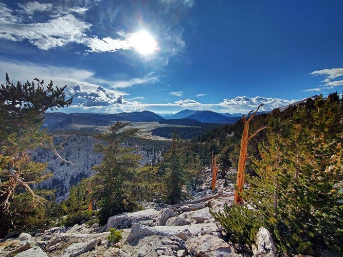
looking west over the Siberian Outpost / Boreal Plateau
 |
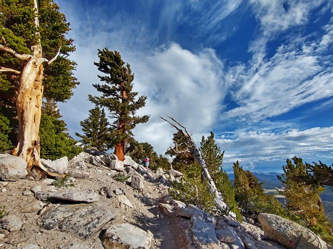
guess which way the wind normally blows
 |
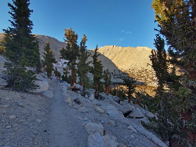
trying to keep up with Clement, Yumi, and Chris passing Chicken Spring Lake
 |
Chris drove off to the next trailhead. I felt too tired for an hour or so of driving to a trailhead that was probably pretty hot (around 4000 feet). So I sat around with some others eating a delicious meal Iris had cooked and a lot of pretzels dipped in nutella and talking before setting the alarm for too early and going to sleep as it started to rain.
Total for the day 9, 1 peak, 1 swim, Strava said 36.1 mi (moto gpower) and 7785 ft of elevation gain in 16:10
My Strava Page for Day 9 of 2023 Sierra Challenge
No material on this page may be copied or used without permission.


