Tom Grundy's 2023 Sierra Challenge Day 10 Ash Creek Divide Page
8-13-2023, For the last day of the Challenge we were heading up Ash Creek - starting at about 4000ft and going up a drainage with no real trail. At least it was a short distance and not a whole lot of elevation gain. I had been sleeping at Cottonwood and didn't know how long it would take to get to the trailhead, at least an hour I thought. I got up at 4:15 and ate oatmeal and drank a coffee can and drove on down the road. It seemed to take a long time to get down to the flats. Then I took the first road cutting to 395 that I could - it went down to one lane but made it through. Twice along the way I tried to get the map to load on my phone but despite claiming to have full reception it wouldn't. I was able to get google directions to the trailhead though. It proved to be a short drive down 395 to the turnoff and then a washboarded but not bad road up to the trailhead - more just the end of the road at the side of the creek. I turned around and parked off the side of the road and got the last of my things ready, cleverly filling my hydration bladder up for the first time this challenge. It looked like there would be quite a bit of bushwhacking, so I decided to forego the traditional wild tights for the last day.
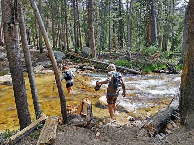
There was a bit of trail heading off up the north side of the creek and another dropping down into the creek. Most took the N side trail but I dropped down into the creek and found a way upstream and across it and then up the side onto a bench above the S side. By the time I got across and upstream most everyone had followed me. We walked across the sagebrush up the bench until that was cut by a much steeper slope. There we started sidehilling. It was easier to not be in the lead as numerous feet made a little bit of a trail to follow. I was content to be near the back of the pack. It was tedious but not particularly hard or dangerous. Things got a bit steeper before we were able to drop down to a flat area closer to the creek. It was here that the creek forked (possibly the "divide"?) and we found a place to cross and then started up the rocks and scree on the far side. It was here that the grumblings and complaints really picked up and people started backing out. I feel sorry for the one guy that this was the only day of the Challenge he could make. As we worked our way up I tended to sidehill around to the right. That worked out well for me as there was a bit of a false summit tower that I skirted around. Unfortunately it was only the first of many, so I dropped back down to go around a few more. That turned out to be unnecessary as Chris climbed over them and got to the next saddle about the same time I did. By now a number of people had dropped out, but a number of us were more committed. The next bit was another steep ridge, sometimes it was easiest to go over the top, other times one side or the other made more sense. Sean C was lamenting that we weren't following the line he had drawn on the map (that went up the N fork drainage for a while before ascending the ridge. Not that the drainage looked much better, but at least it didn't have seemingly endless false summits and blocky ridges.
Ash Creek
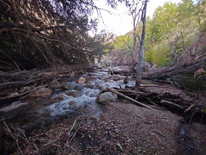 |
walking on the bench on the S Side of the creek
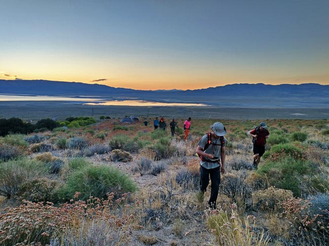 |
dropping into the steeper slope - the first of many false summits center right
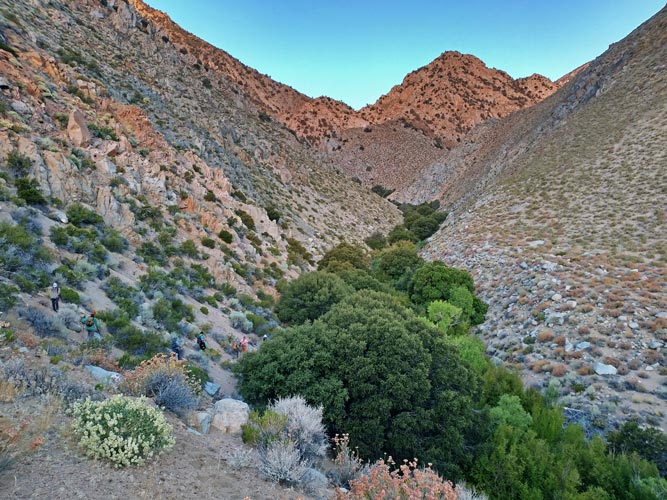 |
Chris and Sean C with the first ridge behind them
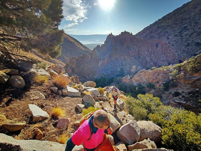 |
Rock Creek crossing
 |
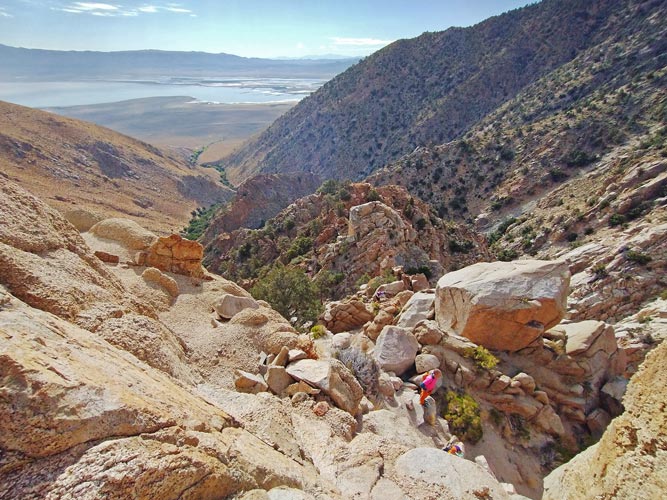
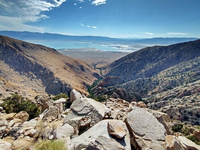
After this bit of ridge there was a short saddle reprieve and then things got steeper, and more rocky. The rock quality was pretty poor. I was in the lead and gingerly climbed up some solid 4th class choss carefully pulling down and trying to squeeze the poor rocks together as I eased my weight onto them. I made it up but then a fairly large block that Dylan was standing on just turned to gravel under him. That took any remaining enthusiasm for choss climbing away from the others and they cut down and left into a sandy gully that while not pleasant probably wouldn't drop them more than a foot or 2. I was past the worst of the choss so I kept climbing up the ridge. From time to time I sighted the others down in the gully - it did not look fun - and they later related tales of unpleasant steep sand swimming. Then for a while I couldn't see anyone and felt very alone on the ridge. Going down wasn't really an option, but we were only about 1/3 of the way up and there was no reason to believe it was going to get better. I sort of wanted to go ahead and be the only one to get the peak, but I also didn't want to be alone for the rest of the day. At least when I stopped and looked back there was a nice view of the Owens Lake. The others were still churning their way up the gully, and they caught up a little later.
looking down afer I did the worst choss scramble
 |
view back from near the top of the first big rise
 |
there was plenty more to go though
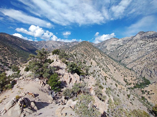 |
From the top of this slope things leveled off after another false summit and the travel was actually much easier over a series of small bumps. This is where we waited for the other's to catch up. It turns out all that were left were 6, myself, Chris, Dylan, and Clement (he started 1.5 hours later, but caught up easily), Drew, and Zee. They told me about the last 2 to turn back, Hunter and Sean C, and how they tried to convince them to keep going to no avail. Then things got steeper again - not scrambling steeper, but uphill through scree, talus, and bushes and trees. It was tedious but any 50 foot section was not hard or dangerous. It was pretty hot, and some people were low on water.
most of the way up the next steep section
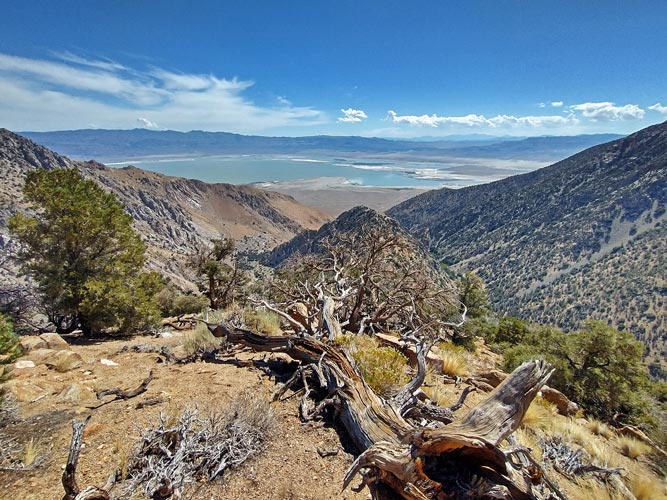 |
and on top of the next rise
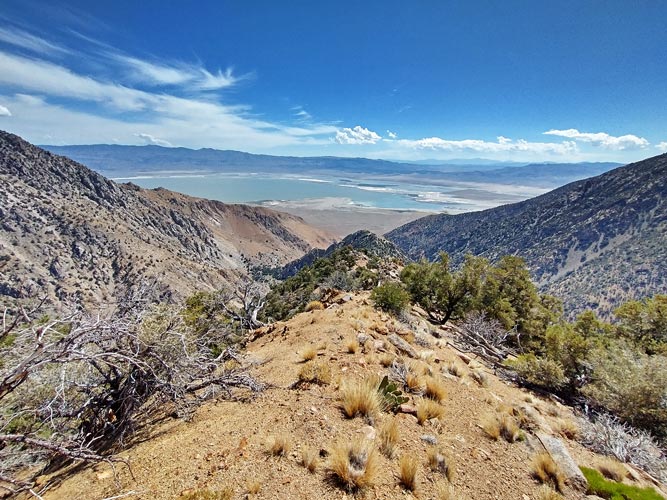 |
there was another rise
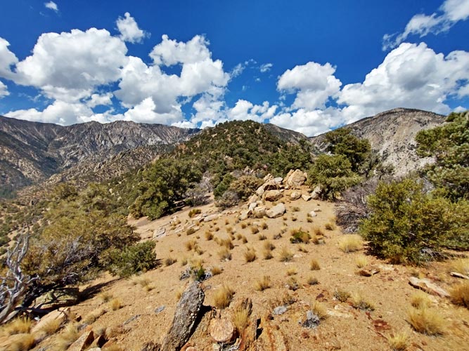 |
Eventually we made it to the pretty underwhelming summit. There was a large plate sized broken fiberglass disk bolted to a sawn off stump - some sort of survey marker? but otherwise not much. We crawled under scraggly trees for shade and waited for all 6 to get up. The 4 of us who had done all 10 days were feeling satisfied we managed, and Drew was remarkably upbeat about this peak. Then we had to get down. I had noted a wide flat bench down on the N Fork of the creek with what looked like a long scree slope to get down to it and figured that was worth descending to. It had the added bonus of getting to water sooner, and the descent from there couldn't be much worse than what we came up right?
Dylan models the Yellow Jersey (which he won this year)
 |
resting on top
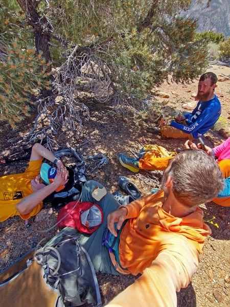 |
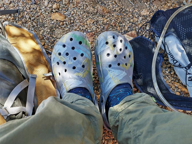
good thing I listened to Mason and brought my mock crocs
 |
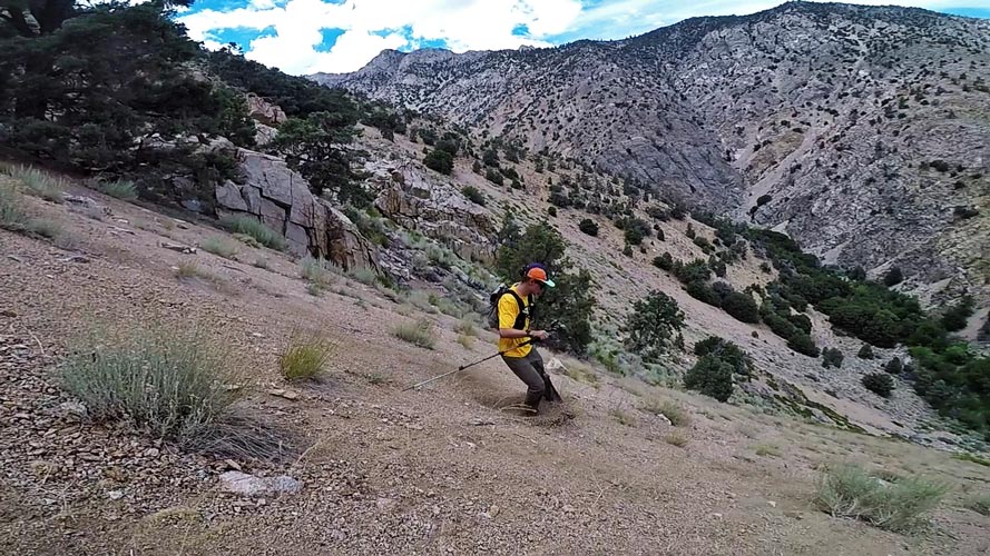
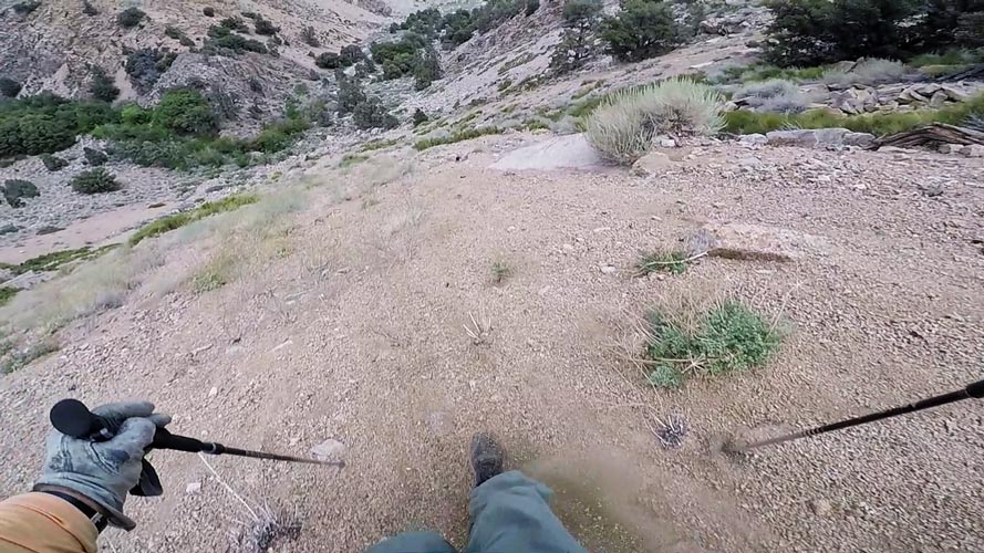
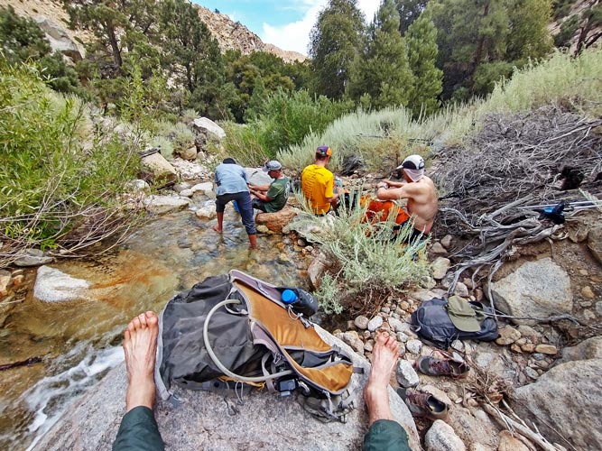
We went much more quickly down the long slope to the first horizontal ridge (sliding down on scree is much more useful when going down) and there Clement decided to head back the way we came up. The rest of us headed down to the N. At first we were carefully picking our way down the steep rocky slope but then it opened up into 1000 feet or so of pretty good sand-gravel scree skiing. Down at the bottom we worked our way downstream to the first open section of creek. I went to get some water and my foot slid in. oops. Then I did it again. Matthew and I had water filters so we were able to filter the water to drink (it looked fine, but I am pretty sure there are cows far above in the drainage). Then a number of us pulled ourselves carefully underwater for a full aqua jersey point (and to cool off). I finished my sandwich here (thanks Iris) and put on my one damp and one dry shoe before we headed downstream. It wasn't quite the flat bench it appeared to be from far above, but it wasn't bad travel either and we made pretty good time down to where the creek dropped off into a much steeper gorge.
Dylan coming to a stop while scree skiing down
 |
first person view scree skiing down
 |
taking a break by the creek
 |
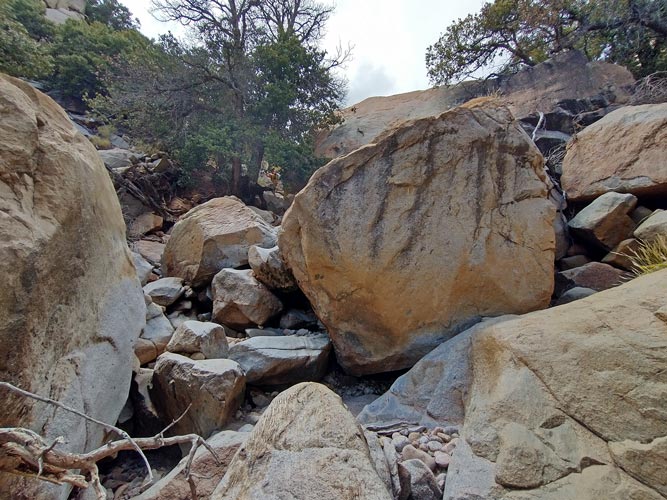
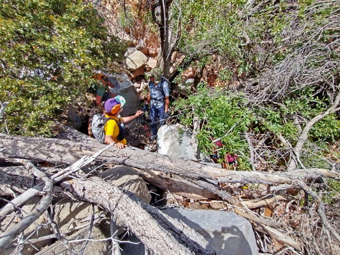
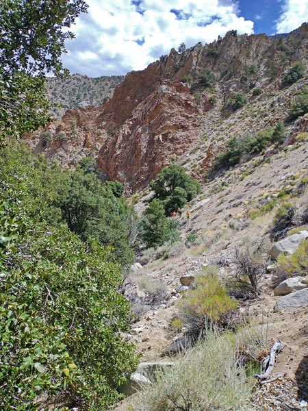
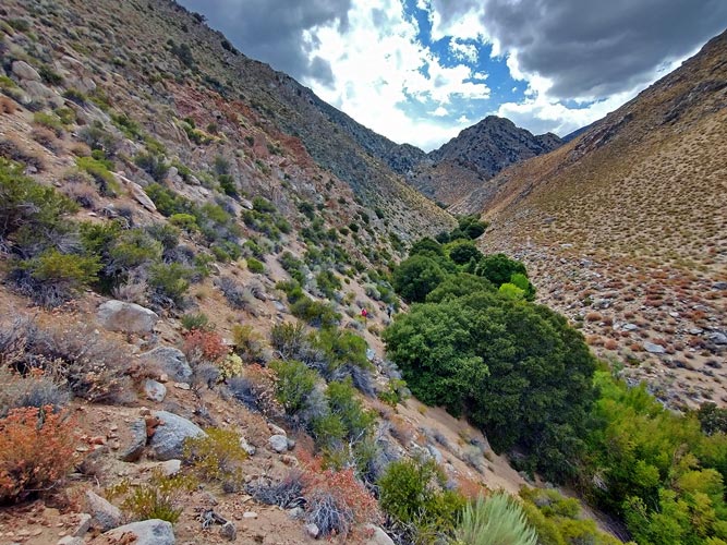
There we had some options - try to head up the N bank up and over a shoulder and descend to the trailhead - probably not very hard routefinding, but a lot of up and sideways on sand and scree - nope. Cut back on the S side - looked sort of dicey - nope. Or drop down the creek - that also looked a bit dicey, but that is what we did. For a while the water went underground, so at least the rocks weren't super slippery, and there were some really huge boulders that made for interesting scrambling under. Then it got even more steep and the water came back. We traversed down on the N side for a bit and then crossed to the S side and headed up out of the now brush-choked creek to sidehill along. There was even a bit of a game trail here for a bit. We turned the corner and we were now passing below the section I had dropped down to avoid a false summit. I ended up trying to take a higher line than some of the others but it didn't really work until we started around the toe of the ridge. By being up higher I had a shorter path around and got a bit ahead. At this point I could see a bunch of tracks where the people heading back had gone down, but I took a less direct path angling down to where we crossed the creek. This worked out well, and I got quite a bit ahead of the others, but they caught up on the sidehill traverse. This was easier with a much better path after having quite a bit of traffic already that day. We made it through this and up onto the bench - such easy walking up here. Then we dropped down to the creek a little later and figured out a way through the brush and up the other side back to the Vehicles. That concluded the 2023 Sierra Challenge - except we still had to get home. Fortunately for me that just meant driving back to Bishop. Zee was going to drive around to the south - much safer than taking Sierra passes since he had some damage from the Taboose road. I stopped in Lone Pine for some ice and enjoyed a cold v-8 on the drive back with nutella dipped pretzels. I heard from Iris on the drive back - she had climbed Flat Top in the hail and was now heading S for a series of work trips. After I got home I met up with Drew, Dylan, and Chris in a Mexican restaurant to reminisce before they headed on. Then back home for a much needed shower, unload the car, and sleep.
big rocks in the creek bottom
Dylan on the left of the big rock under the tree
 |
sometimes it wasn't very easy going
 |
shortly after we cut back to the S side
I think we were on the other side of the ridge above on the way up
 |
finishing up the traverse on the S side of the creek
 |
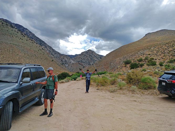
Drew at the car and Zee celebrating the finish
 |
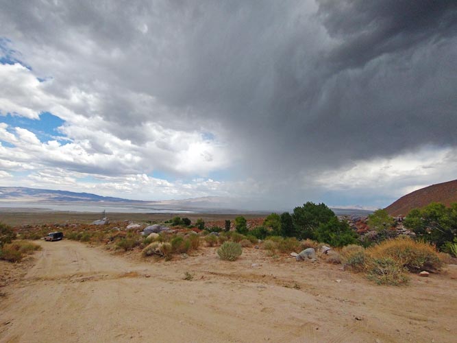
my truck down the road and a rain cell out over the valley
 |
In the next few days I would slowly recover starting with a 100M day (I didn't go more than 100M at a time - and really probably a lot less), Laundry, lots of fresh food (the garden is producing), stretching, sleeping, more resting, and writing up trip reports.
Total for the day 10, 1 peak, 1 swim, Strava said 7 mi (moto gpower) and 5653 ft of elevation gain in 9:20
My Strava Page for Day 10 of 2023 Sierra Challenge
No material on this page may be copied or used without permission.


