8-08-2024, The parking for Ink Rocks is a bit of a pain. We got the Element up to the gate and then parked another car in (with his permission) to maximize the number of vehicles we could get here. We set up for the next day, and had dinner and talked to others before sleeping.
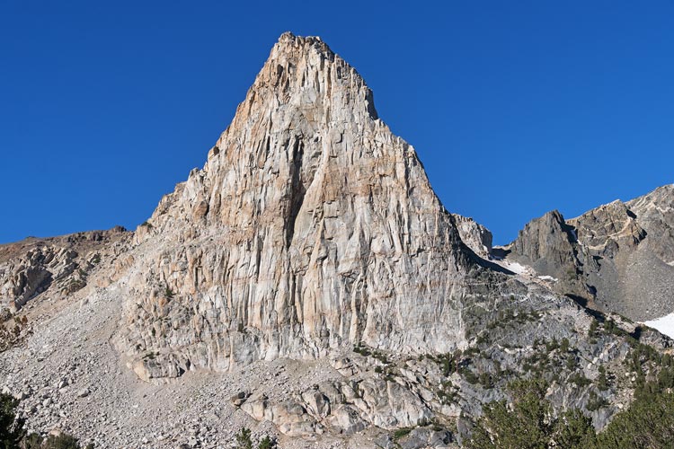
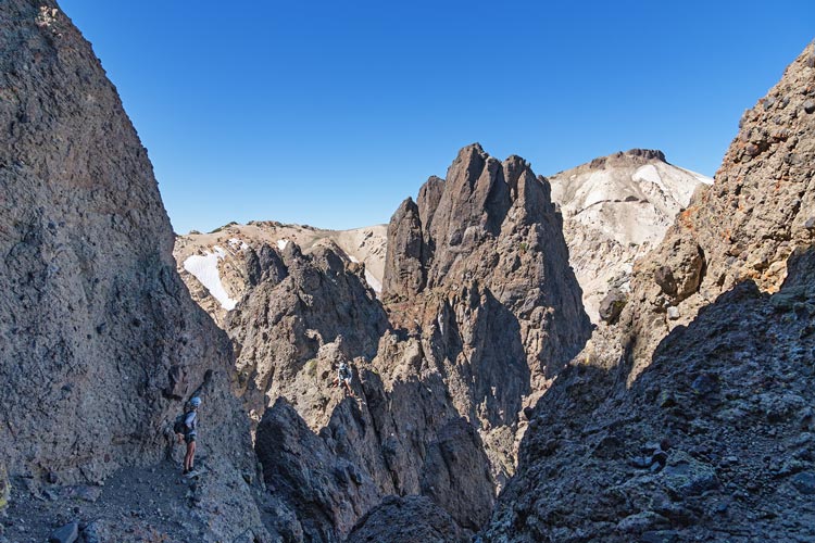
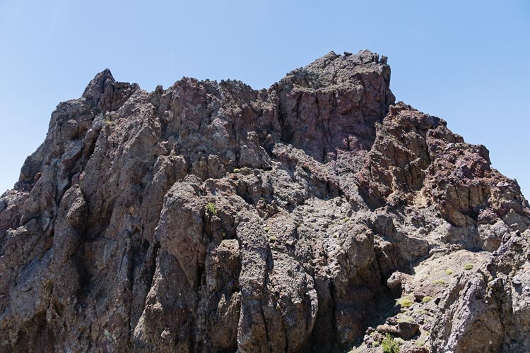
8-09-2024 Iris planned to start early with Bob and Tom, but they somehow didn't get the memo and started off just before 0530. Iris quickly got ready to go and raced off to catch up with them. I started with the masses at 6, handing my ~45 m rope off to Levi before we left. We headed through the little neighborhood and then through the fence and on up the trail. We briefly lost the trail where it crossed the creek, but all managed to cross and then re-find the trail a bit up the hill on the other side. Then lost the trail again where it went into the meadow - or maybe didn't. I was playing catch up here, but caught up with most of the people including most of the early starters, but I stopped to get some water and lost everyone again. It turns out they headed up the slope to the east early, I continued up the valley eyeing the cliffs of Flatiron Butte and wondering what happened to the people ahead of me. I continued up generally following the gpx track and eventually saw Sean behind me. I worked my way up towards the saddle S of the peak (no longer following the track, the track went to the north side - oops). The rock here was some sort of volcanic composite - probably welded tuff with lots of chunks - and far from trustworthy. I looked around for a reasonable looking way up but didn't really find any. I did find Kristine and Sean, and we ended up heading up a gully on the SW side. It dead ended into a steep (overhanging) headwall that I wasn't very happy about climbing with a small ridge and dihedral section that was merely vertical. We were getting ready to head down when Dylan popped up behind us after coming up a sketchy gully - he had a rope, so after he came over on a loose ridge we set up and I led up an overhanging crack/chimney/dihedral. I was able to get a #1 cam into the crack, it was probably solid and I was wedged in pretty solidly too. It was quite awkward to move up, but as I said - somewhat secure. The climbing to the right looked easier, but vertical choss with no pro didn't seem like a good idea. It looked like we could scramble to the top from here so I set up and anchor and brought the others up (the easier vertical choss). They headed up a notch to the top where they could see a lot of others waiting at the saddle to the north.
 |
|---|
 |
|---|
I cleaned the anchor and followed the others to the top and then quickly headed down to the top of the cliff above the saddle. There I threw the end of Dylan's skinny rope to pull up my fatter rope. I threaded that through a huge arch as an anchor and then sent one side down to toprope people up and the other side down as a rap line for descending. Then I belayed everyone up the side. This mostly worked well, although the people going down the rap line needed to make sure nobody was below them as there were plenty of loose rocks to knock off. (There were plenty of rocks to knock off on the climb up too, but less chance of someone being below that). It took a few hours to get everyone up and back down. I had Mason be a "meat anchor" on the rap end of the rope while I came down the other side. Unfortunately there was too much friction to pull the rope over the edge and through the arch, so I went back up placing some gear and then cleaned the arch anchor and carefully downclimbed cleaning the gear. We were back on relatively safe ground and could breathe a sigh of relief. I had stowed my camera for the climbing and belaying, so I didn't get pics of this.
 |
|---|
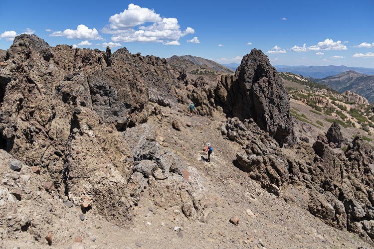
I headed up and over Ink Rocks North while Mason and Iris detoured around (they had already been up to the summit). We met up again on the other side and then went up the ridge looking for a way down to the west. They had come up a not-great way pretty far to the north and we were hoping to get down earlier and without heading uphill as much as the way they came up would require. The first few gullies off to the west didn't look like they went down without cliffs (although we couldn't tell for sure). Eventually we found one that looked more likely and I headed down until I could see it did go all the way down without cliffs. We worked our way down carefully trying not to drop things on people below. Then we side hilled and descended to the N and W until we made our way back down to the trail we came up on.
 |
|---|
We followed the trail down - it seemed awfully long crossing the creek a little below where I crossed it on the way up. Finally we made it back to the little community. There we saw some others getting a ride in a vehicle (one of the guys who lived there was giving rides and talking to people while waiting for the Giants? game to start. He was returning as we got close to the cars and Iris went on while the rest of us stopped to be neighborly and chat a bit. Then we made it back to the cars to socialize with the rest of the people there. After a while we headed down the road to the larger parking area where Jim and Evan were parked. Iris and I jumped into the cold and refreshing creek there and then into Bridgeport where Iris joined Bob et al. for some jeeping and peaks the next day and I drove up to sleep on the way to Twin Lakes for an early start there.
Total for the day 1 peaks. Strava said 17.72 mi and 4,302 ft of elevation gain.