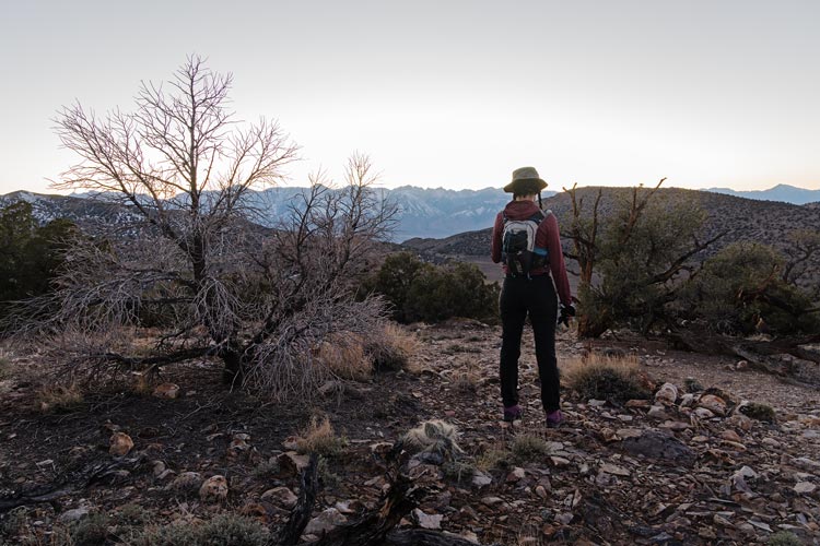
Iris and I both had a number of days we needed to climb a new peak in the second half of October, so we made an effort to do so picking off one near the Buttermilks, a few in the Inyos, one in the Alabama Hills, one on the drive to Flagstaff, one just east of Flagstaff, and Mt Humphreys (fortunately I didn't need a new peak the 25th). That finished off Iris' calendar for the year, but I still needed a few more in October.
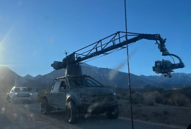
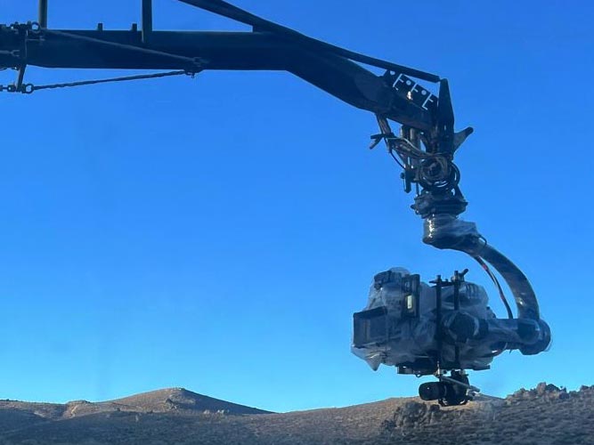
2025-10-17 We drove up in the afternoon with a bit of a delay for something they were filming along the Buttermilk road (car commercial?). The road is pretty washboarded and rocky and although it isn't going to stop you from getting up it is bouncy and annoying. We parked past most of the Buttermilk camping and headed across the creek and up to Peak 7192. I might have climbed this earlier in the early 2000s for a rest day, but I am not sure if it was the high point and have no idea of the date. We sort of followed Bob's track on up to the summit a little after sunset. The views were nice. Then we headed back down a little more directly which ended up being a little harder than planned or wanted. It was pretty much dark before we got back to the truck.
| |
|---|
 |
|---|
 |
|---|
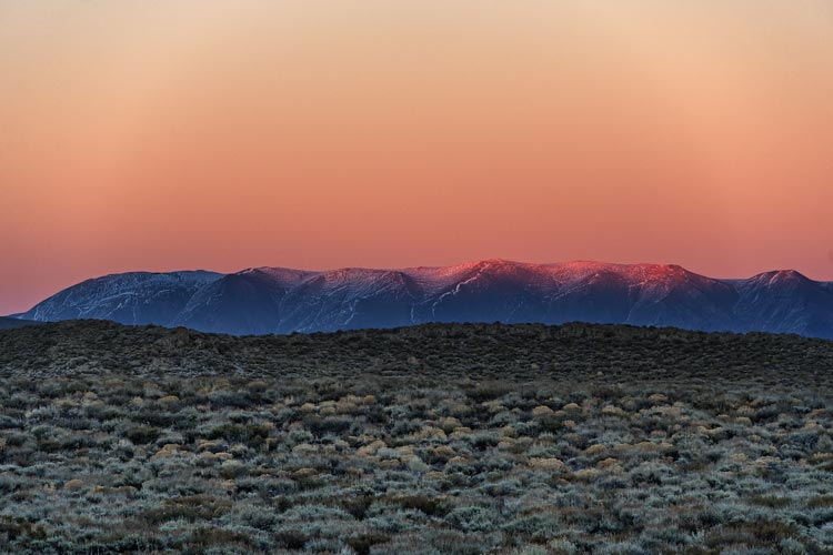
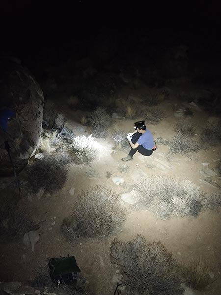
2025-10-18 We packed up some camping gear and drove the element up to the Inyos. We made it most of the way we wanted to and then did a sunset hike up Peak 8080. Once again it was pretty much dark before we got back to the vehicle. We backtracked a bit to a camping spot closer to the Death Valley Road. I tried to take some night photos, but didn't see many meteors or any northern lights (not that I expected the latter). We had plenty of insulating bedding, but it was all plastic and kept sliding off so we got cold until we repositioned it again.
 |
|---|
 |
|---|
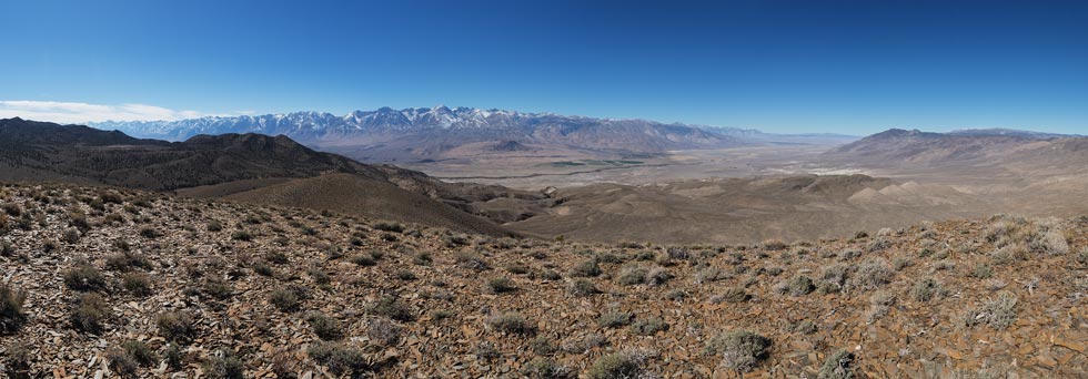
2025-10-19 After a relaxing morning we headed back down the road and turned off onto a FS road which we didn't follow long before deciding it was too rough. We probably could have gone another 1/2 mi, but then there were some really rocky sections that we probably couldn't have made it up. That was too bad because there was quite a lot of decent road after that, but we were walking. Fortunately it was a pretty nice day. We headed up a side road and then cut cross country to South Harkless Peak at 7720 with a nice view out over the Owens Valley towards the Sierra. Then we followed the ridge mostly east to North Harkless Peak at 7880 ft. It also had a nice view but showed less of the Sierra. Then we dropped down to the east back to the road we hiked in on and back to the Element to drive back to Bishop.
 |
|---|
2025-10-20 We had planned to head down south tagging a point on the way, but between me being slow to get my stuff together and Iris being tasked with doing more work (despite the govt shutdown) we didn't get away. So we headed up towards Mammoth and did a night hike up to Airport Point with a bonus of Whitmore Point. We probably should have visited some hot springs while there, but instead returned home.
 |
|---|
2025-10-21 Today we finally did enough work and packed up the Element and achieved escape velocity. We did a night hike up Gunga Din Peak - aka Rattlesnake Peak in the Alabama Hills. We couldn't find the trail at the start, but then it became obvious for most of the way and then we lost it a bit at the top. The summit was a nicely textured rock with a register at the base. It was quite pleasant hiking at night - cool and no sunscreen or long sleeves needed. The remainder of the drive back south was a bit rough, but we made it and at least traffic was light that late at night.
 |
|---|
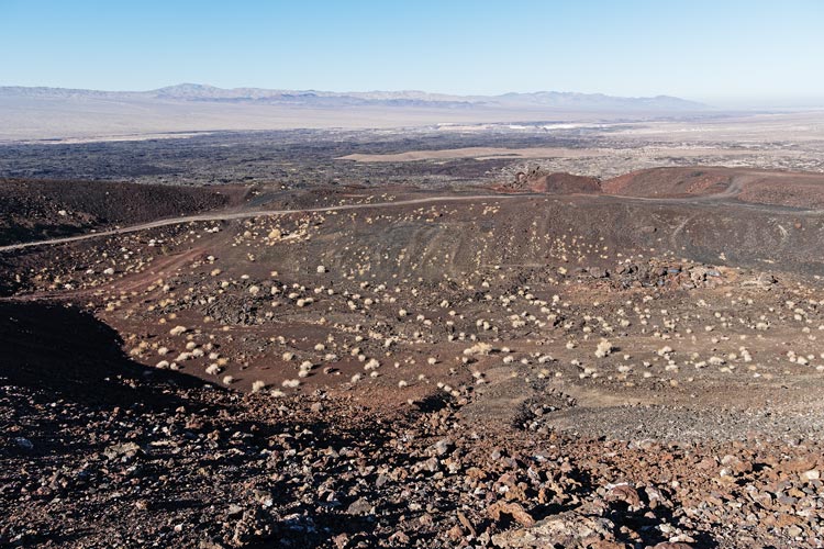
We spent nearly 2 days in Yorba Linda before heading out in the evening and parking near the next objective for the night. The next morning 2025-10-23 we did the short hike up Pisgah Crater Peak before the drive to Flagstaff.
 |
|---|
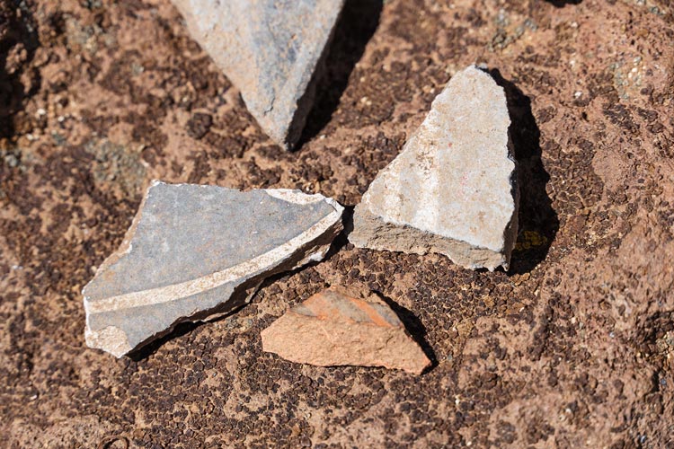
2025-10-24, Iris didn't need a peak this day, but I did. We went east of Flagstaff to hike up Old Caves Crater peak. This was a lovely hike up a trail in the ponderosa forest. On the descent we detoured to the Sinagua ruins - mostly lots of holes in the ground now. There were heaps of potsherds all over the ground. These continued downhill quite a way.
 |
|---|
 |
|---|
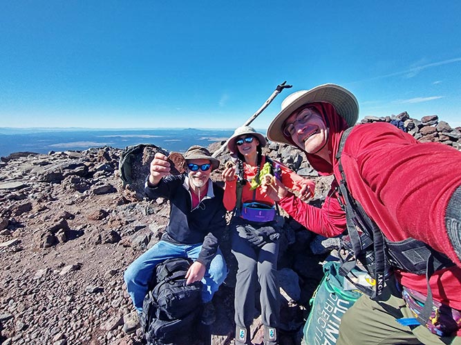
One of the reasons we escaped to Arizona during the stupid extended government shutdown was to climb Mt Humphreys. I had done this a number of times before, but Iris had not, and it is a state high point and on the DPS list and a big stratovolcano, all good reasons to climb it.
 |
|---|
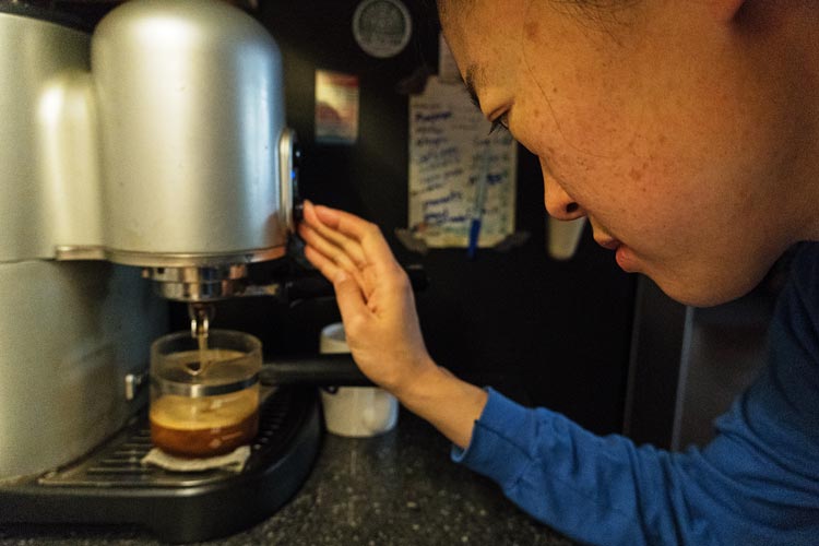
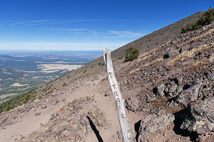
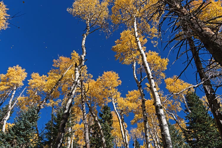
2025-10-25 We got up earlyish and after breakfast and caffeine departed just after 7 am for the drive up to the ski area (We in this case was Iris and me joined by my brother Will). There were some nice aspens along the way and the much larger than before parking area already had plenty of cars and a tour bus when we got there. We got ready to hike and then started, almost immediately passing a huge group from the tour bus. The trail is pretty wide and gets plenty of traffic, but it is still rocky. The first part went through some golden aspen glades and had bright yellow leaves all over the ground. We were mostly in the shade and it was chilly, but not so cold I needed another layer. The only thing that got cold for me was my fingertips (wearing rubber coated construction gloves). Iris reported a frozen face, but I think that was higher where there was more wind. There were a few places with frozen ground including where the ice crystals grew up from the damp soil. We pushed on up at a decent pace - fast enough to pass almost everyone. At 9 we were able to get on a family zoom call for a bit although reception that had been full up until then got a bit spotty and we lost the connection a few times.
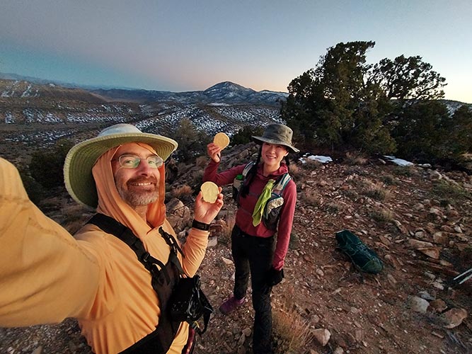
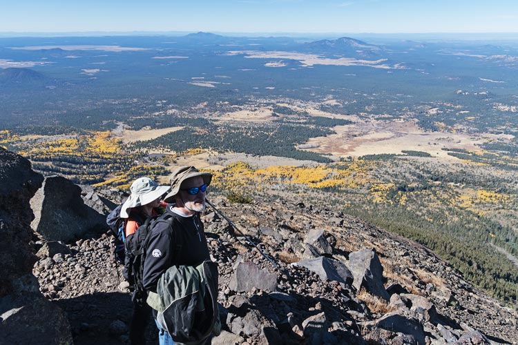
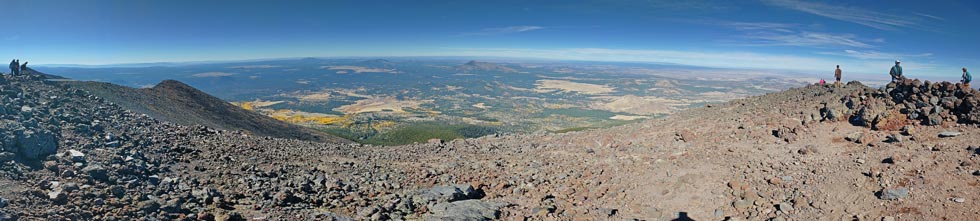
By the time we got up to the ridge it was sunny and about the same temperature but the wind was a bit stronger - not bad though. We continued up the trail which wasn't always so obvious where it went - more because there were multiple options than that the trail disappeared. Still it was pretty obvious that in general you needed to go up the ridge. I was pleasantly surprised that what I assumed was one more false summit was actually the real 12,633 ft top. We sat out of the wind and ate some sandwiches and summit cookies and enjoyed the views. It might have been the nicest conditions I have experienced on the summit. There were plenty of others up there but for the most part they spread out.
 |
|---|
 |
|---|
 |
|---|
 |
|---|
After relaxing for a bit more we headed down. The people coming up now were a mix of those that were going pretty slowly and those that were quick but started later. A few trail runners passed us going up and down but for the most part we were going slightly faster than most hikers. The descent seemed to take a long time, especially as we neared the bottom passing through the brown leaves on the ground and then the yellow leaves on the ground and finally back to the parking lot which was close to full, although there was an entire lot they had closed off where people seemed to be going to take pics of the aspens. There were a few open spaces in the lot but based on how far back down the road people had parked it was completely full at some point in the day. On the drive back down there seemed to be many more cars heading up.
 |
|---|