Tom Grundy's Dusy Basin Backpack Page
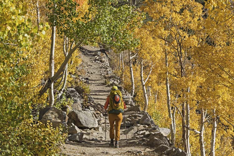
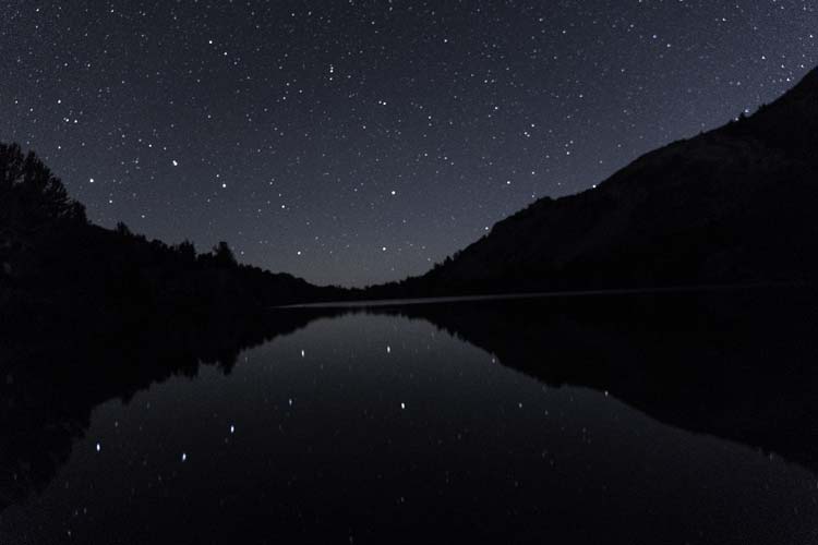
2026-10-01 Relatively last minute we got an invite onto a permit for hiking into Dusy Basin. Iris drove up the day before but she didn't actually stop working and start packing until about 1. Fortunately I started earlier and she is much more organized than I am. We drove up to South Lake past some lovely golden aspens about 4 and started hiking in. Our packs were hardly light, but since we decided not to try to do any roped climbing they weren't painfully heavy. We were only hiking as far as South Lake this day. We saw Chris and Danielle's tent and set up nearby on the S end of the lake. They hiked up to the summit of Chocolate Peak for cacao and the sunset. We just jumped in the rather chilly lake and then set up camp before Seth and Sarah arrived. We cooked up dinner (green curry and rice I had cooked and then dehydrated earlier in the week - Delicious). We spent some time eating and talking and then I took some star pics before going to bed. (The big dipper was framed by the end of the lake and also reflected in it). I regretted not having my big full frame K-1 for this, although I do not regret not carrying it. I was still chilled from my jump in the lake when we went to bed and it took a while before I fully warmed up.
Iris heads up the trail among the aspens
 |
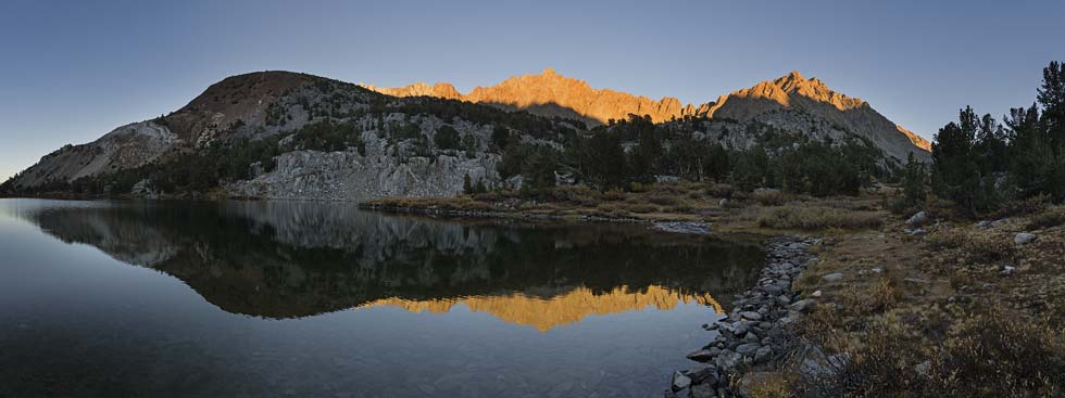
last light on the inconsolable range plus Chocolate Peak
 |
big dipper reflected in long lake (the poor focus actually makes the constellations a lot easier to see)
 |
link to strava page for Day 1 hike to long Lake 10-01-2026
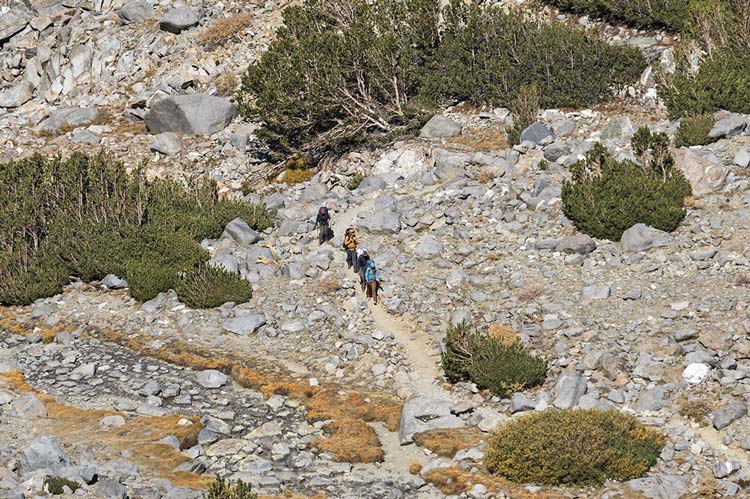
2026-10-02 We got up around 7 and had breakfast (cheesy jalapeno grits) and packed up and then talked for a while before finally heading on up the trail towards Bishop Pass. Soon Iris and I were ahead and we stopped at the top of the switchbacks for a sandwich and then went on to the pass where the others caught up with us as we plotted our next moves. Chris and Danielle went to climb up Agassiz, Iris and I stashed our big packs and went up the ridge towards Goode Enuf and No Goode peaks, and Seth and Sarah headed down into the basin towards our camp for the next 2 nights. By now it was pretty cloudy, certainly more than I expected from the weather forecast and it even looked like rain off in the distance.
Danielle, Chris, Seth, and Sarah front to back hiking far below
 |
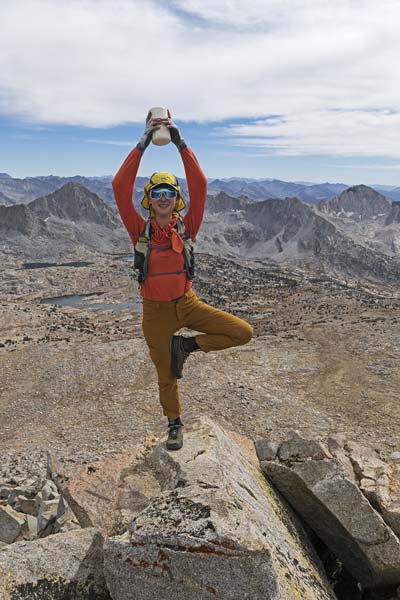
The hike up along the ridge towards Goode Enuf was fairly tedious and the altitude had us going pretty slowly. The views were quite nice though. After No Goode we headed back taking a lower line. Iris stayed higher than I did and made better time going up and over a bump back to the packs. I dropped down a little lower around the end and came back up the trail about 3 minutes behind her. Then we reloaded the packs and headed down into the basin. We were looking for a lake to swim in on the way to our camping spot when Seth yelled out to us - they had found a spot a little north of our planned spot. We continued on to swim in the lake - a chilly operation with the sun peaking out from the clouds before we got in but not afterwards. At least we didn't have to wade far to get to deep water. We headed back to set up camp and this time I wasn't messing around and put on almost all my warm clothes and thus managed to warm up well before actually getting into bed. The place we set up the tent had only a thin layer of sand and gravel over glacially polished bedrock. Needless to say the stakes didn't go in, but there were plenty of rocks to hold the tent. I had some trouble with the stove while cooking dinner, but managed to get it done (Ramen plus dehydrated things and peanuts and peanut butter). That evening we were treated to a nice sunset, but only occasional stars after it got dark.
Iris with the register on Goode Enuf Peak
 |
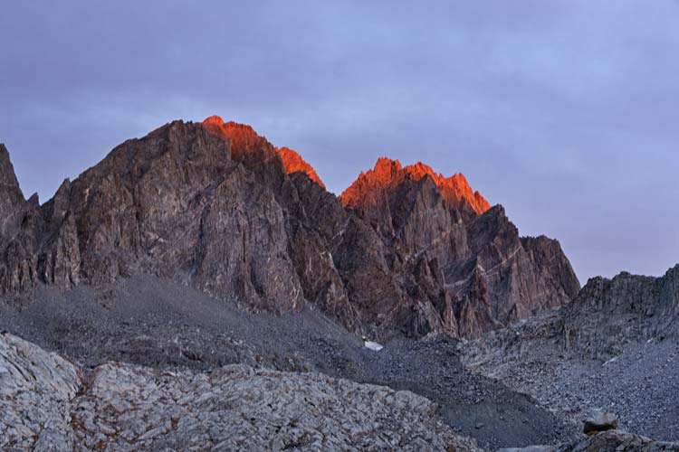
evening light on the Palisades
 |
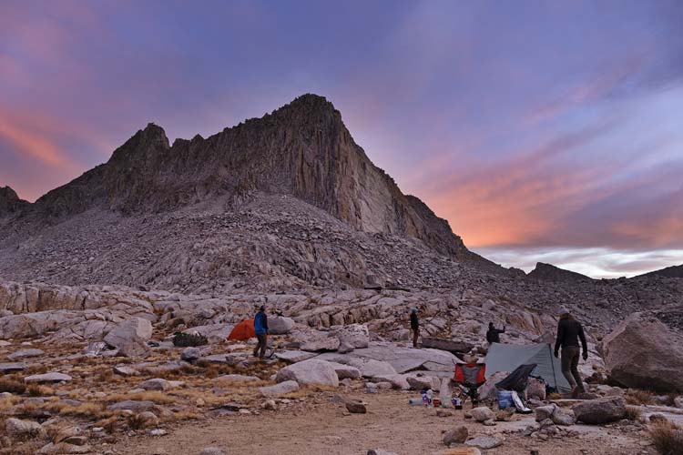
Isosceles Peak - a large portion (lighter color) on the right recently fell down
 |
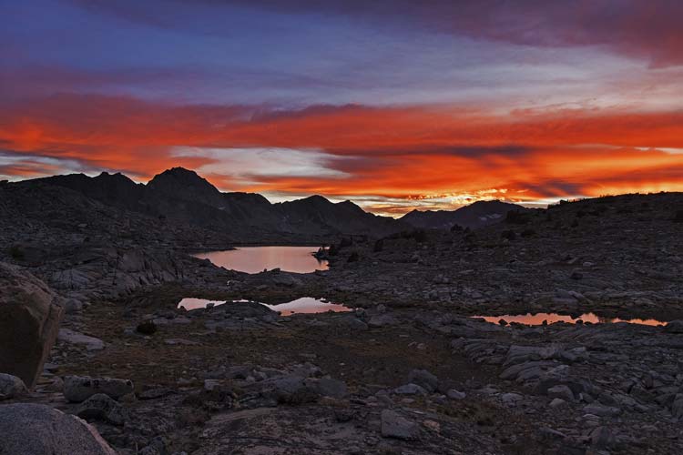
nice sunset, Giraud is on the left
 |
link to strava page for Day 2 hike to Dusy Basin plus Goode Enuf and No Goode Peaks 10-02-2026
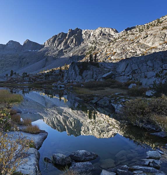
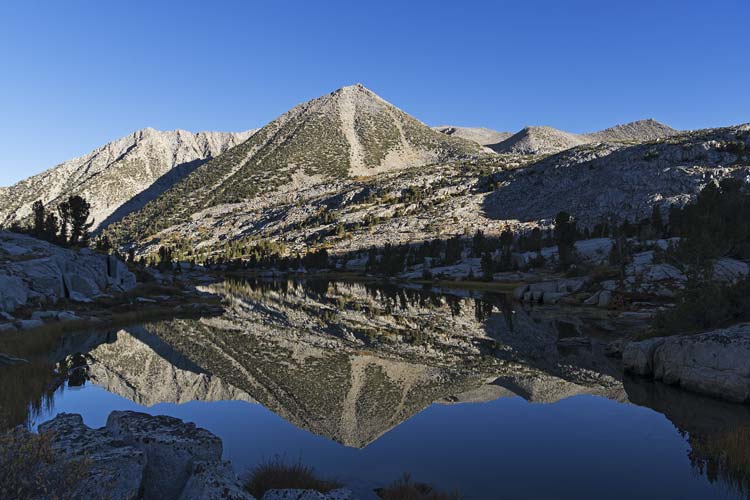
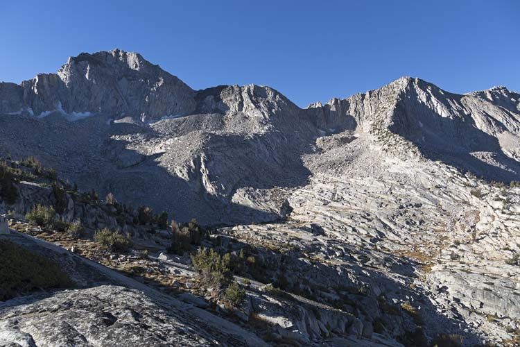
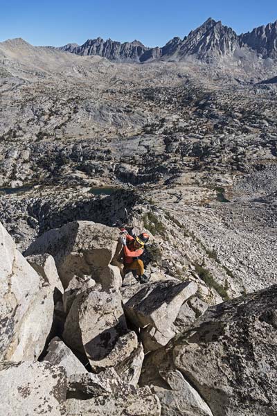
2026-10-03 Iris and I got up early and I got a cup of instant coffee going but then while trying to cook the oatmeal the stove fell off of the canister - the stove threading was stripped out so much I could barely get it to stay on at all and any movement of the pot caused it to fall off. Once it fell off it was even harder to get it back on as it was burning hot, expanded, and stripped even more. There might have been a lot of quiet cursing. I've had problems with the stove cross-threading before and I suppose the soft aluminum just wore away. Fortunately I managed to get the oatmeal warm enough to fully rehydrate. Then we ate, packed up, and headed off around 7 as the others were getting up. We headed down past the lakes and took a ramp down a cliff and then followed an old trail for a while before finding a crossing between 2 lakes in the drainage - the exact spot I had crossed when going to Giraud during the 2026 Sierra Challenge. Then we scrambled up and right against the grain of the topography and over the ridge before following a ramp down to the next drainage. We got water and took a bathroom break here before heading up towards the long NE ridge up to "Roll Peak" (a peakbagger.com name). We went up talus and a nice ramp against the base of the ridge to a local high point and then scrambled up onto the ridge. Then we followed the steepening ridge up towards the summit. Generally we kept to the ridge top except for a few short easier detours. We could have traversed left to easier ground at the top but mostly stayed on the ridge up to about 50 feet from the summit where we popped out onto the ridge and then had to navigate the Krummholtz to the summit.
I'm a sucker for a good reflection
Knapsack Pass Peak might be the one on the left with a bit of sun on it
 |
and a nice reflection the other way too
 |
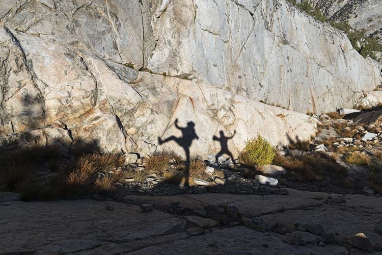
playing with our shadows
 |
Giraud on the left, ridge up to Roll Peak on the right
 |
Iris scrambles up the ridge
 |
panorama over Dusy Basin from Roll Peak, Giraud is up the ridge on the right
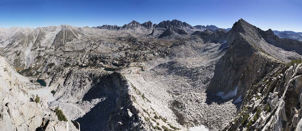 |
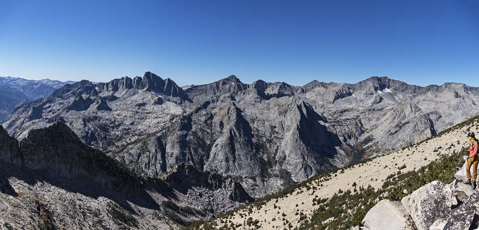
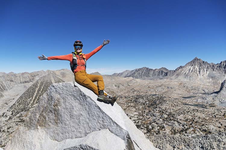
We couldn't find any register on Roll, but the views over Dusy Basin and down into LeConte Canyon were good. Then we followed the ridge or the south side as best we could through the krummholtz and to the 2 notches on the way towards Giraud. Once past the second notch we worked our way steadily up the big talus to the 12608 ft summit of Giraud. It has some nice summit blocks and being an SPS peak a decent number of entries in the register. We spent a while there eating and taking pics. Chris radioed us to say he thought he saw us on the summit and when I stood up on a block he could see me. I couldn't see them - they were probably near the saddle we would go to later. They were originally going to go up Giraud, but I think it looked sort of ugly from where they were, so they headed towards Knapsack Pass Peak - one Iris and I had done during the 2018 Sierra Challenge.
panorama over LeConte from near Roll Peak, Devils Crags center left, Wheel Peak near the center and McDuffie center right
 |
Iris on the Giraud summit
 |
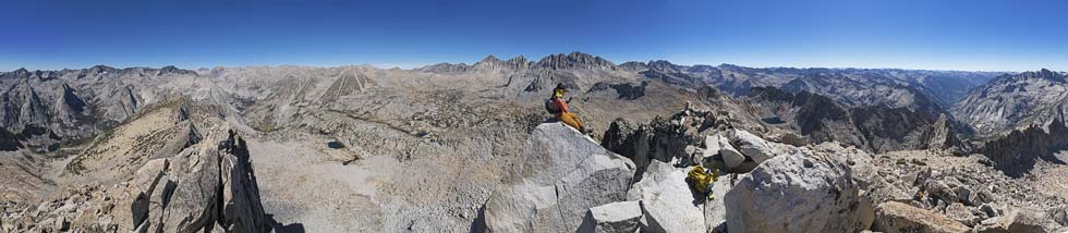
panorama fromGiraud
 |
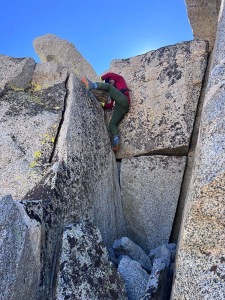
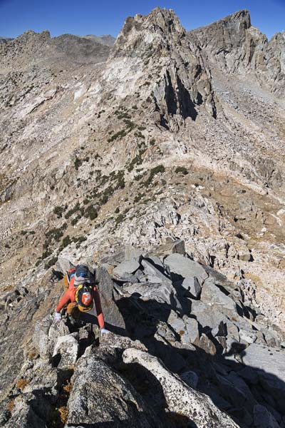
We consulted tracks a few times (thanks Clement) as we worked our way down the lower angled south side and then dropped off the steeper SE side. Fortunately we were going down as the extended scree bits would have been pretty slow (but maybe avoidable) going up. We made pretty good time down most of the way towards a lake before we cut skiers left and traversed around and up towards the pass. We saw Chris and Danielle make their way up over maybe a false summit. They were heading back down by the time we got to the saddle. We left our packs there and scrambled up Peak 12101 - one of the few peaks with prominence in the area I hadn't done yet. We took an unnecessary detour into class 4 terrain on the way up but for the most part quite enjoyed the scrambling. Chris and Danielle got to the saddle shortly after we got to the summit. We spent quite a bit of time looking for a register as some of the previous ascentionists were Smatko, Lilley, and Burd - all known to leave registers. Alas we came up short.
I scramble up 12101 on gratuitous class 4 (Iris pic)
 |
Iris scrambles up the ridge to Peak 12101
Knapsack Pass Peak has the sloped top on the right
 |
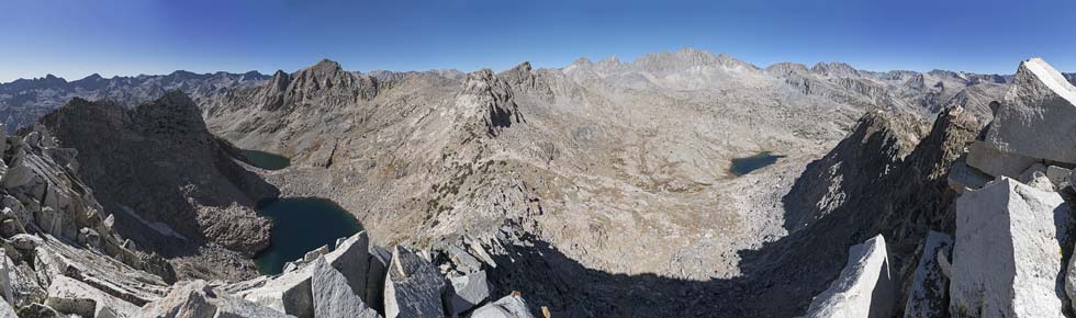
panorama from Peak 12101 - Giraud center left, Knapsack Pass Peak center, Palisades and Palisade Basin on right
 |
Chris and Danielle at the pass below
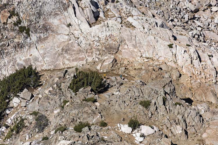 |
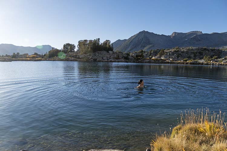
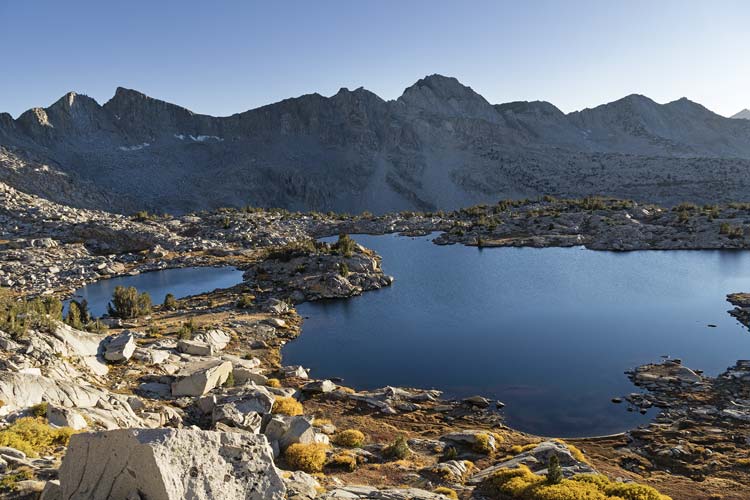
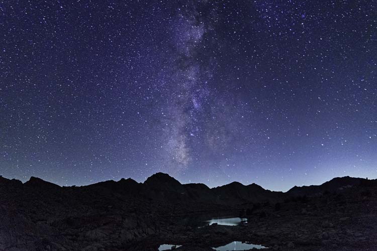
Chris headed up while we headed down and we passed in the middle and got beta on getting to Knapsack Pass. Back at the saddle we talked to Danielle who was planning on heading down to a lake to swim and avoid the extensive side-hilling and scrambling to get more directly to the pass. We headed off on what was indeed extensive side-hilling on mostly talus going up and over a ridge before dropping down to avoid a cliff and then over and up to the pass. After the pass we side-hilled and descended to the north to a nice little lake. We went around to where there was a nice jumping rock and the sun was reflecting off the water onto us. It was actually almost warm before we got into the water and the sun and chilly wind dried us quickly. It was by far the most pleasant swim of the trip although I wouldn't have complained if it was warmer. Then we continued north towards camp staying on the east side of the lakes - probably a slower way, but it did make for a proper aesthetic loop. We got back to camp just around sunset and I was pretty tired considering we only did 7 miles and not all that much elevation gain. I was able to borrow a jet-boil to make hot water for dinner. Just pouring boiling water over the green curry with rice noodles and then closing it up in the pot coozie for a while was enough to properly rehydrate it - another delicious dinner and fabulous stars that night. I took some more night photos - the view to the south and the milky way were pretty good - although there was a bit of a sky glow from Fresno and the central valley.
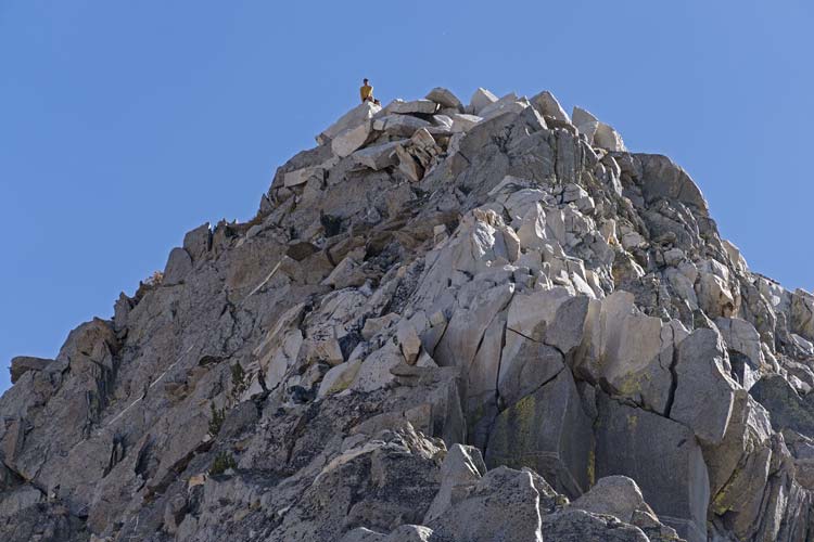
Chris on Pk 12101
 |
Iris swimming in the lake
 |
the lake we swam in is on the left, Giraud right of center
 |
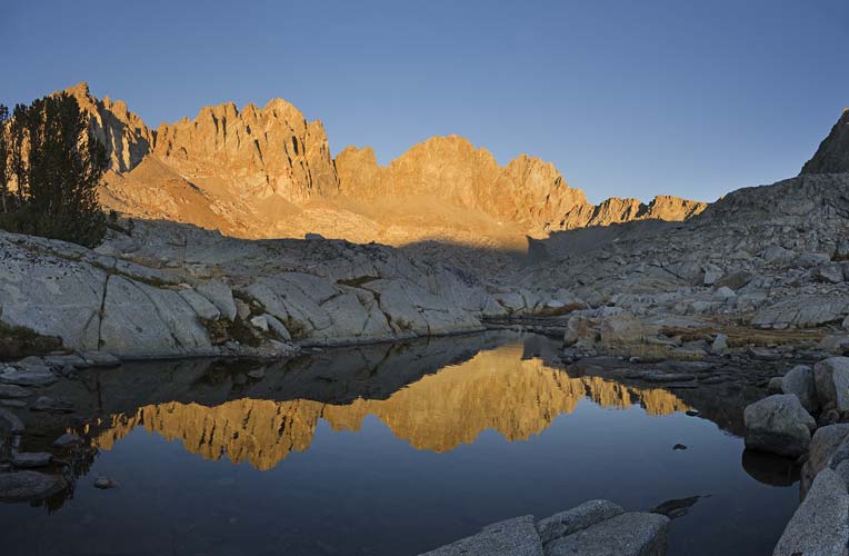
Winchel and Thunderbolt reflected in a little pool near camp
 |
night view - Milky Way and Sagittarius above Giraud
 |
link to strava page for Day 3 Roll, Giraud, 12101 peaks, and Knapsack Pass 10-03-2026
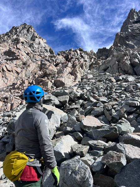
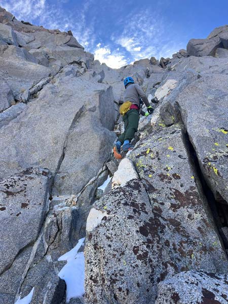
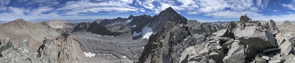
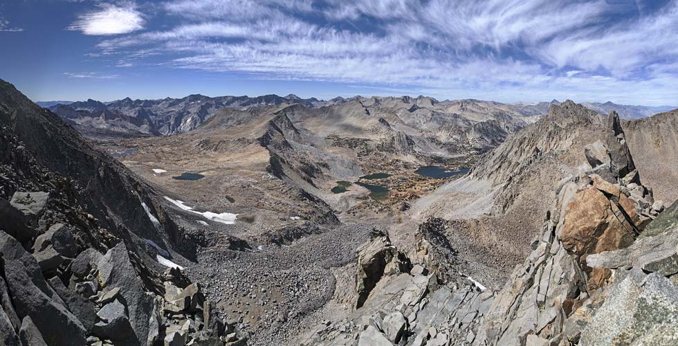
2026-10-04 Once again we got up before the others. There were some nice cotton candy clouds when I got up. I borrowed the jet boil that was sitting out and used my gas canister for breakfast as we packed up camp. The others were all getting up and packing themselves before we left. Hiking out I probably picked a line too close to the palisades that resulted in a little more elevation gain than needed. Then we got water at the tarn below Agassiz and continued a little lower to a small lake where we left the big packs. On the way to Jigsaw Pass we found a pretty good old trail that we followed until it disappeared into the talus and scree. Then we traversed around to below the pass before carefully working our way up the right side - sometimes on talus but mostly on the more solid rock. I was in the lead and the main crux was not knocking anything down on Iris below. She was wearing her helmet (Betty), but we didn't want to test it out. After we got up to the pass the going got easier for a while on the north side of Aperture peak. Then it got hard again but a lot more solid and fun up to the summit - easily the best scrambling of the trip and also a wonderful summit with a nice bench facing the palisades. Once we got chilled from the wind we went to the other side and enjoyed the view over Bishop Pass and Dusy Basin. After about an hour on the summit we headed down.
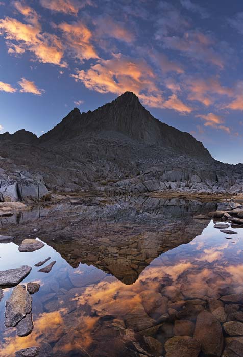
Isosceles Peak
 |
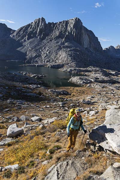
heading away from camp - on the rocks above Iris' head right of the lake
 |
I look up at Jigsaw Pass (Iris pic)
 |
I scramble up Aperture Peak (Iris pic)
 |
360 panorama from Aperture - Agassiz right of center, Iris sitting by summit on right
 |
panorama from Aperture on Bishop Pass side
 |
view over Bishop Pass from Jigsaw Pass
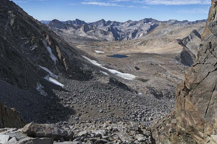 |
Dropping down from Jigsaw pass was careful work but went quicker than going up - and we took a much better line over and then down to the end of the trail which took us almost back to our packs. After re-shouldering the load we tried to follow the old trail but soon lost it and just headed back to the main Bishop Pass trail following it down through the good switchbacks and the excessive ones. Then it was just a matter of plodding on down the trail back to the aspens and the parking lot. We stopped to take some aspen pics on the drive down, but they were more pleasing to the eye than to the camera.
pika
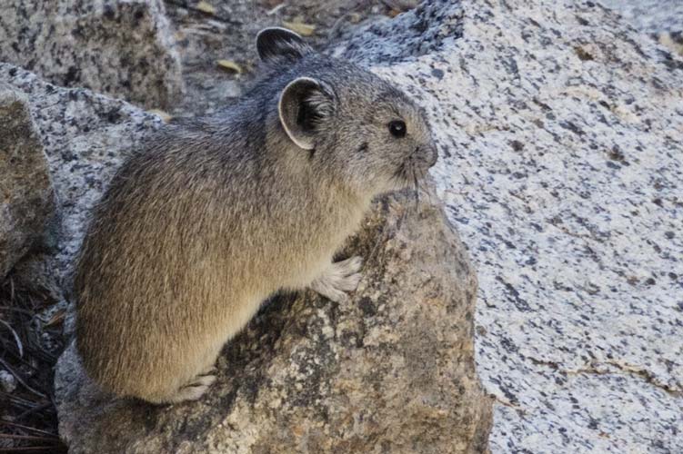 |
fall color
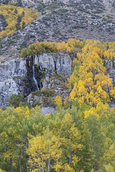 |
link to strava page for Day 4 hike out plus Aperture Peak 10-04-2026
link to Iris' Strava Page for the trip
link to Chris Kerth's Strava Page for the trip
No material on this page may be copied or used without permission.