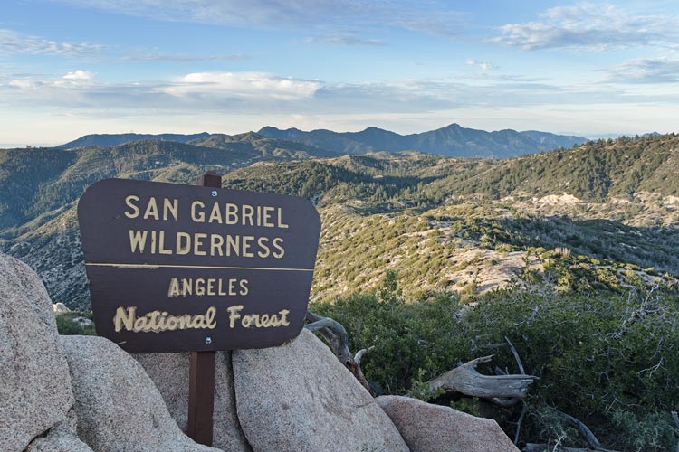
2026-01-17 With a few days off for a long weekend - but not that many because Iris is still working hard, we headed across the LA basin towards the San Gabriel Mountains where we would be climbing some HPS peaks. First we stopped at REI to buy an America the Beautiful pass - that I hear violated how they choose the image and thus it is no longer very beautiful, but it was a moot point since evidently REI has sold out of them in Southern California.
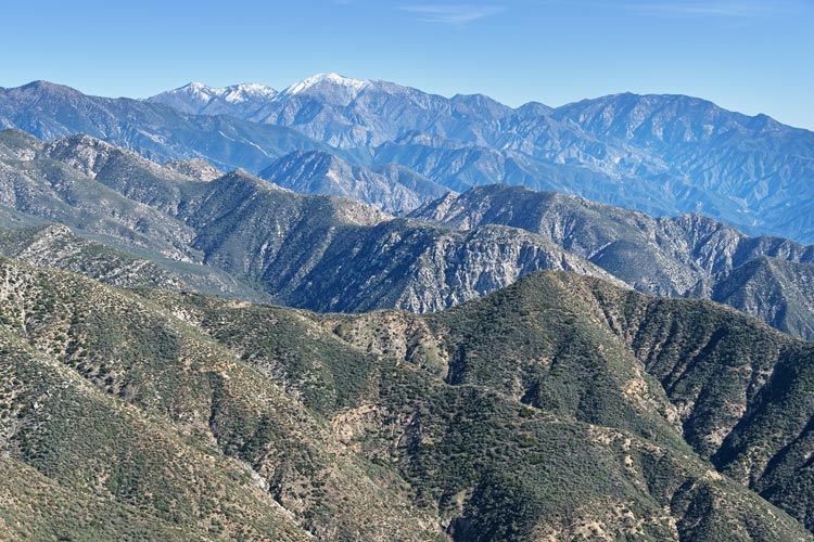
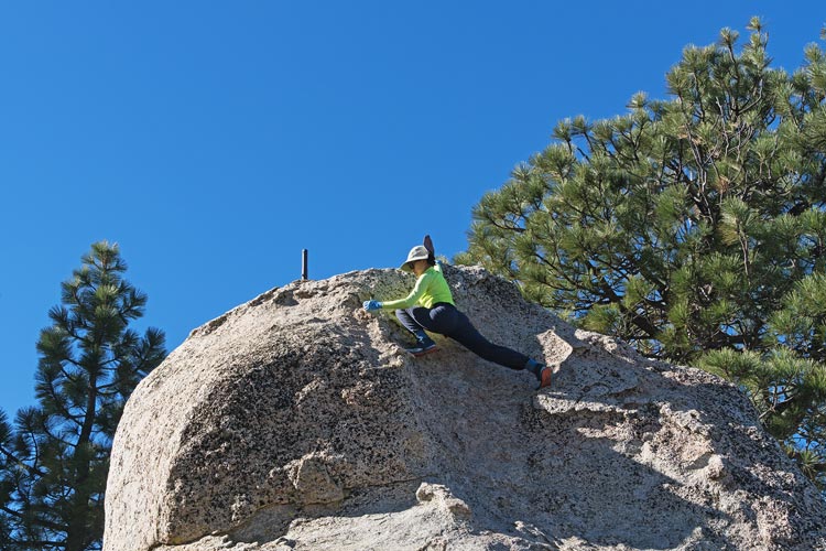
We drove up into the mountains getting passed regularly by people in sports cars and motorcycles in a real hurry to get to the closed end of the road - and then return in a hurry too. We stopped at a pullout and hiked up the pretty brief and somewhat clear trail to Sally Peak, then back to drive up to another pullout/ parking area where we parked for a longer hike. This one was up a mostly paved road. It would have been nice to be able to drive most of it, or at least to have bicycles. Still, it was a pleasant enough walk past many picnic areas to the summit of Vetter Mountain with a rebuilt fire lookout building. Unfortunately it was all shuttered up. We did talk to an enthusiastic kid about his car collection a bit and had a sandwich before heading back. We drove a bit off the main road up a dirt road and then walked a short way up to Mooney Peak and then a longer hike to Devil's Peak which was a p300, but not an HPS peak like the previous 3.
| |
|---|
 |
|---|
 |
|---|
 |
|---|
The sun was about to set when we got back to the Element, but the water was warm and the rinse wasn't bad. Unfortunately Iris needed to get cell reception to finish some work details so we drove back down surprisingly far. The first place we stopped had a pretty good view overlooking the city, but despite pretending to have cell service Iris didn't really have any, so we descended farther. Then we finally got a bit of spotty coverage for her phone - none for mine. Then we drove back up past where we had been earlier and camped in the parking lot where we were to meet Tom B the next day. The cool breeze made cooking a bit of a pain, but I managed ok, and we ate inside.
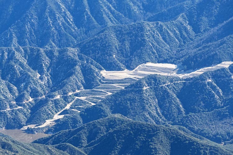
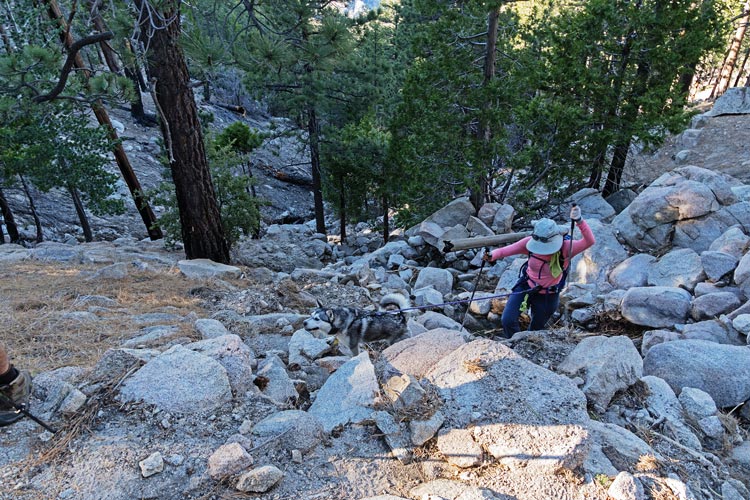
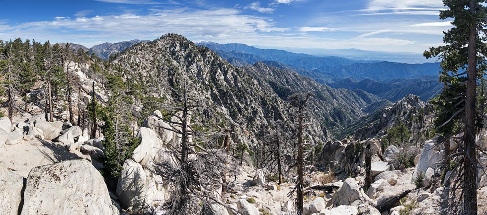
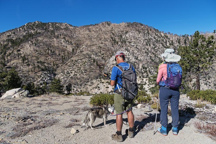
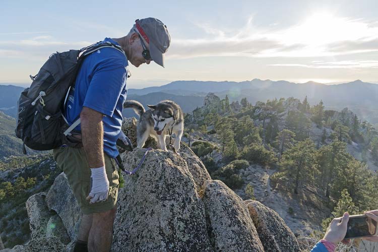
We got up before the sun and got ready before Tom and Shadow showed up at 7. Then we headed off, briefly on the PCT and then another trail that headed up and traversed below the west side of Waterman Mountain. After a bit of gain in the beginning it mostly just traversed in and out of the many drainages. We were surprised how many had water running in them as normally this is a dry hike. In hindsight I could have saved a bunch of weight if not time by bringing water purification instead of just a lot of water. We traversed around the west side of the ridge to the s side and then started down at a trail junction. We lost the trail where a tree had fallen across it and another hiker passed us at a switchback but saw it below and just headed downhill to rejoin the trail and then drop down to the saddle. There was another hiking group there down by another creek. We crossed the saddle and headed up the other side towards East Twin. The trail wasn't so obvious all the way up, but we were mostly able to follow some sort of trail up to the 7771 ft summit. We looked down SE at Triplet Rocks - one of the harder undertakings in the range involving quite a bit of scrambling and bushwhacking. After a sandwich and a bit of relaxing we left.
 |
|---|
 |
|---|
 |
|---|
 |
|---|
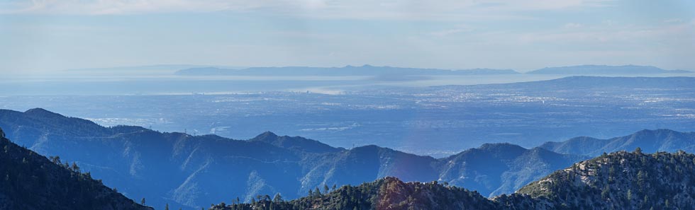
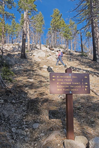
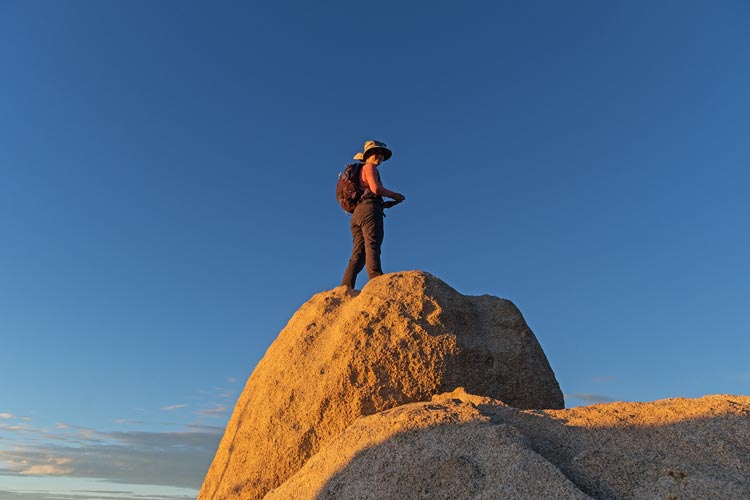
We went down to the saddle with West Twin and then headed up that peak. It sees a lot less traffic but the 7602 ft summit had a nice summit block with a short scramble. Then we headed back down with a short detour up Peak 6816 near the saddle before wetting ourselves in the creek for the long hot slog up towards Waterman. Much of the way was in the sun because a fire burned it a few years ago. We followed the trail up until it took a long detour to the east. We cut straight up the hill to meet it above and then followed it up to the 8039 ft summit. We had another sandwich there and cooled off in the breeze. Then we headed NW across the delightful plateau - reminiscent of the southern Sierra. Then we headed down the west ridge with a few detours over various peakbagger points along the way. Some were pretty nice scrambles with views, others we pretty forgettable. We rejoined the trail we took up in the morning and then scrambled up our last bump - Three Points Triple Divide. The sun was low and the light was nice. When we got back to the parking lot Tom had to head home to feed the rest of the dogs. We rinsed off in the outhouse and cooked up dinner before settling in for the night.
 |
|---|
 |
|---|
 |
|---|
 |
|---|
 |
|---|
2026-01-18 There were a few options for today, but our first choice was bust when we realized the road was closed well short of where we planned to start. We tried another option but that road was closed too, so we went back to the first option and parked a little back up the road where we could face into the sun for solar hot water and electricity. Then we headed off walking down the road. Our goal was Pacifico Peak. The first few miles on the paved road went fairly quickly and we made it to where we had hoped to drive to. Then we headed up the gated dirt road. There were plenty of spots where rocks had rolled down onto this road. We left the road at a switchback and fought our way up the steep slope to a saddle. The PCT was just below us on the other side but we headed up a bit of a use trail that went up the ridge. It was mostly pretty easy to follow and clear of brush with a few cairns to help mark the way. We continued up the ridge to where a road intersected it and we followed that up to the campground at the summit. There were 2 competing summit blocks - although it was pretty obvious one was higher. We climbed them both anyway and had a summit sandwich. At 7124 ft with over 1500 ft of prominence Pacifico was an HPS Star Emblem Peak (as are Twin Peaks and Waterman).
 |
|---|
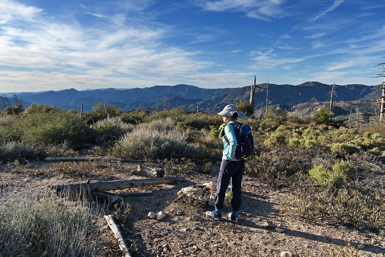
We headed back the way we came and then took a detour up to Mount Hillyer where we visited a few different bumps that might have been the high point and Mt Hillyer NE Peak - a more obvious point even if it wasn't the highpoint. There were more people up here including a group probably from one of the nearby camps and some couples walking dogs. We headed back to the Element and then parked in a bit of an alcove for a delightful warm rinse before driving back down to greater LA where we had a much less delightful fight through traffic back home.
 |
|---|
 |
|---|