After Richard went up Piute Crags 11-8 (in descending order) he thought #s 11 and 8 were in the wrong place on Lists of John (LOJ). We tried to figure out which points made sense, but the satellite images and topo maps are not as helpful as one would want and the old Voge guide has a hand drawn pic and I'm pretty sure the photo in Secor is mislabeled. So, with an afternoon free and before some weather blew in Iris and I went for an exploratory ramble.
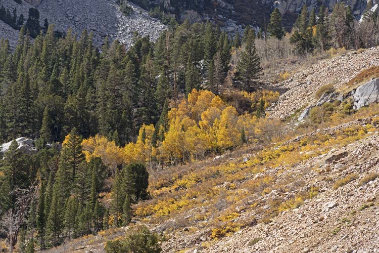
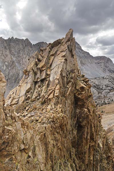
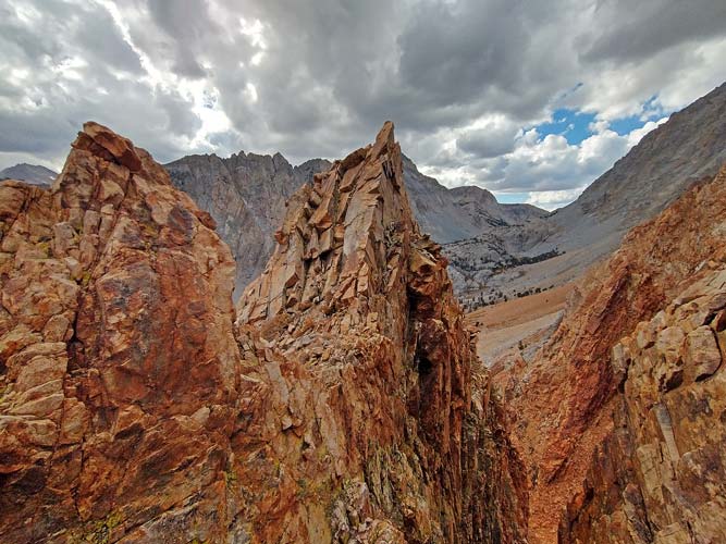
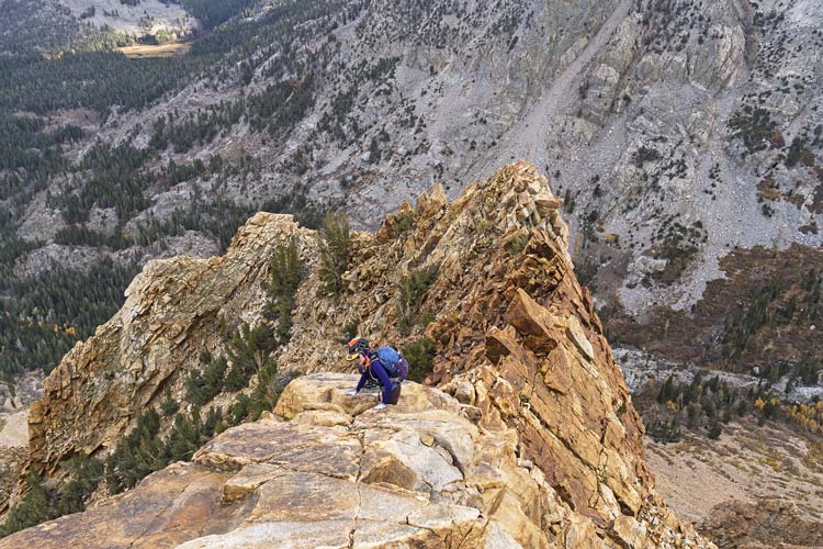
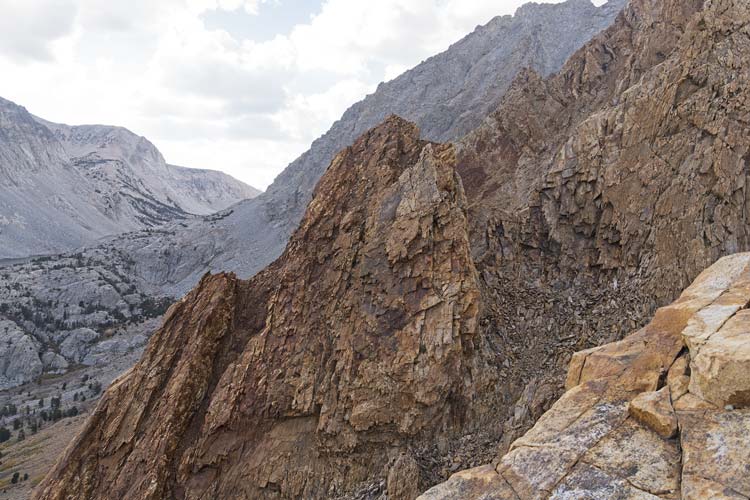
2026-10-09 We drove up to N Lake. The Aspens at this elevation were past their prime but not completely bare with a few trees still completely yellow and there were plenty of leaf peepers up there. We grabbed our stuff and headed on up the road and then the trail leaving it below the gully to the east of Piute Crags #11-9. We went up the talus and then at maybe the second weakness in the cliffs on our left we stashed our poles and started scrambling up. We went up and then cut south a bit and then up and right a bit before heading up an obvious gully that headed left. At the top of this there were some trees and what we now think is PC#11 was visible - the second and higher bump to the west of the notch made by a very steep gully formed by the erosion of a black dike.
| |
|---|
 |
|---|
 |
|---|
 |
|---|
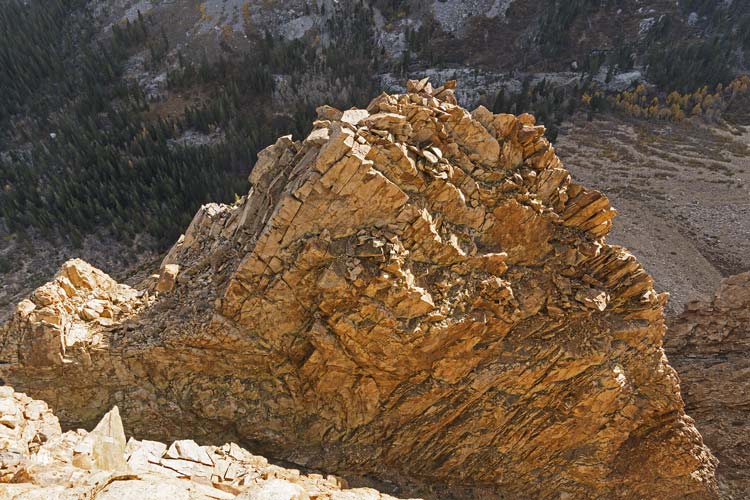
After scrambling out to this point we headed back and then continued up the ridge. There was one section here with probably the most insecure climbing of the day - it wasn't very hard, but none of the holds were very positive. I had already made my way up this when Iris got to it. I threw down the end of the rope so she could use it as a hand-line if needed. (We brought way more climbing gear than we used, but it is better to have it and not need it than the alternative). Then we scrambled up past what was marked as PC#11 - really just a step on the ridge up towards #10. We followed the ridge up to #10 - a quite obvious summit. Richard had moved Bob's register from the old #11 to this summit. Then we made the easy but somewhat tenuous descent to the 10-9 notch.
 |
|---|
 |
|---|
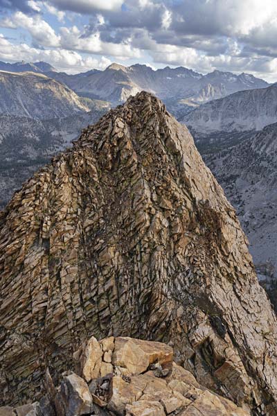
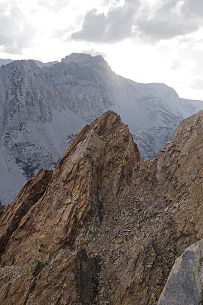
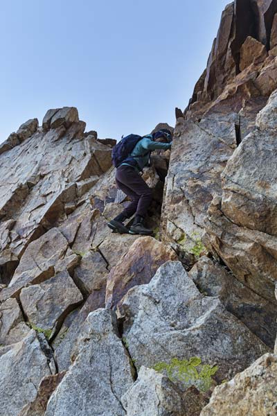
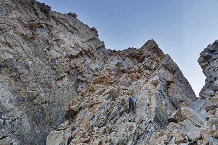
From the notch we carefully climbed the 5th class face up to #9. It was steep but the holds were positive and felt solid. PC #9 was another quite satisfactory summit. We could see what Richard thought was #8 to the west from here. We went down to the notch north of #9 and then headed down and across the gully and then up the steep and somewhat loose face to PC#8 - another pretty obvious summit once you get there.
 |
|---|
 |
|---|
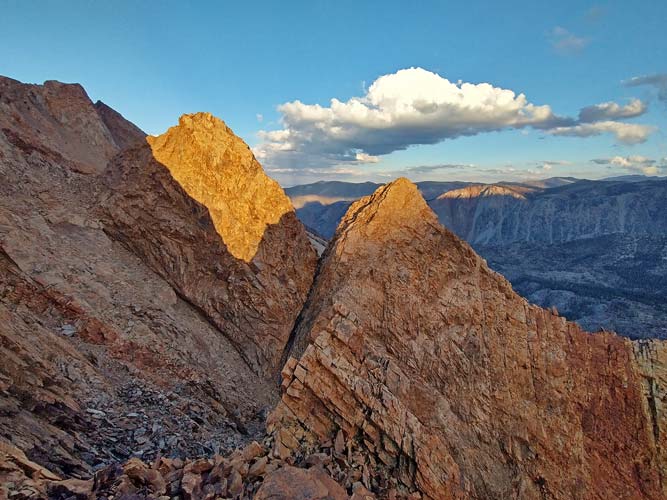 |
|---|
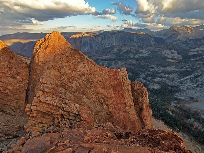 |
|---|
After #8 we went back down to the gully between #8 and #s 9-11 and headed down. It was a little unclear if we would get cliffed out heading down this drainage which would have been a pain as the sun was setting. Fortunately there was a ramp down to the left and then back right to get down to the talus below. Soon after hitting the talus we turned on the headlamps and headed down until we got to the Piute Pass trail. We followed the trail back to N lake.
 |
|---|
 |
|---|
As best I can tell the location of the peaks are:
PC #8 37.23399, -118.63902
PC #9 37.23449. -118.63783
PC #10 37.23385, -118.63762
PC #11 37.23242, -118.63775
These coordinates are based on the caltopo "hybrid" map layer and best guess and are not expected to be exact, but should be close enough to find the right spot.
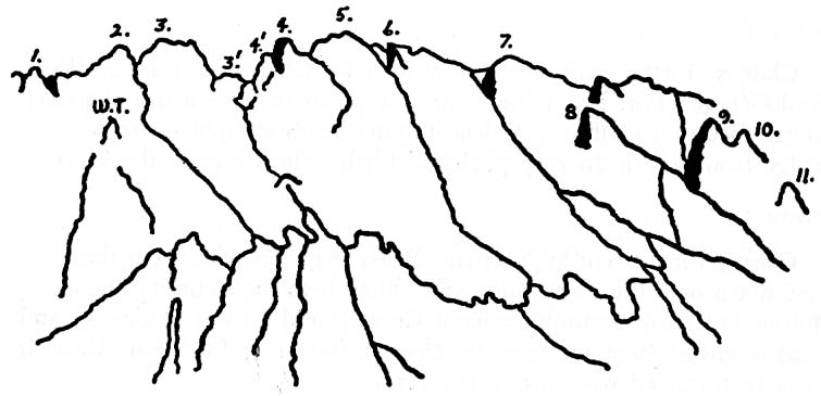 |
|---|
These locations line up quite well with the written description in the Secor guidebook and Voge guide (1954).
In 5 different trips in 2021, 2022SC, 2024SC, 2025SC, and this one I have now climbed all but what I think is PC #4, but I am not exactly sure which bumps are #6 and #7. I need to find or take a photo from the SW that lines up with the Voge line drawing to see if I can pin down #6 and 7.