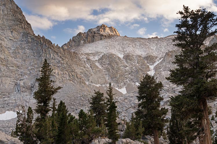
Iris and Mason planned a trip into Meysan Lakes to climb LeConte, Corcoran, Mallory, and Irvine. I was about to start Expedition Oregon , so didn't have a lot of input, but I was game although a little concerned about my physical state after the race. They had both climbed LeConte a few years back during the Sierra Challenge, but I had not done any of these peaks, and they were all on my to do list.
2024-09-19 We packed up our gear for the weekend, concerned about the weather forecast - cold and windy, with possibly fresh snow from the recent weather. At least the weather was supposed to warm up from what it had been up until this day. After the very cold Palisades trip a few weeks back we were a bit traumatized by cold wind and packed a lot of layers.
2024-09-20 We drove down to Whitney Portal and loaded up for the hike in. My pack was maybe barely lighter than the hike into the Palisades - less climbing gear, more insulation and snow stuff (crampons and ice axe). It didn't take long before I could feel that I was tired and slow. Oh well, we didn't have that far to go today. We did stop to pick up a few of the pinyon nuts we saw along the way. We slowly worked our way up the trail. It was somewhat damaged from some storm events which washed out some short sections. We plodded our way up to Camp Lake where we had planned to camp. There we found a spot and sent an inreach message so Mason would know where we were (he was working this day and would hike in that evening). We filtered some water which really froze our hands, and then set up camp and cooked dinner and went to bed. Later that night we went out of the tent and the 1/2 moon was up and the sky was full of stars and the wind wasn't blowing. It was quite magical.
 |
|---|
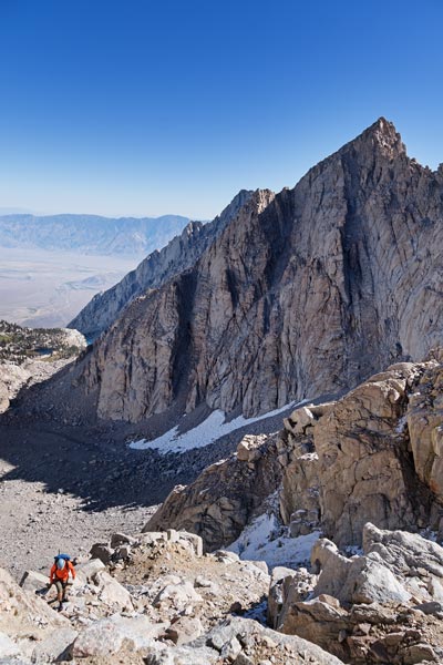
2024-09-21 We got up about 5:45 - it was just barely getting light. We started cooking breakfast (cheese grits and tea). Mason got up and joined us as the morning progressed. We headed out a little after 7 and hiked up to Meysan Lake. This took longer than we thought it would, and we probably should have camped there. We got some more water from the outlet of the lake and then headed up towards a gully up to the plateau above. We were a little nervous about all the fresh snow up there, but figured some would melt in the sunlight as the day progressed. We all had our reasons for not moving so quickly, but we steadily made our way up past some snowy ledges and next to the old snow up onto the plateau. There we headed towards LeConte, finally dropping down to the SW from the saddle and then up the gully there towards the "waterfall pitch".
 |
|---|
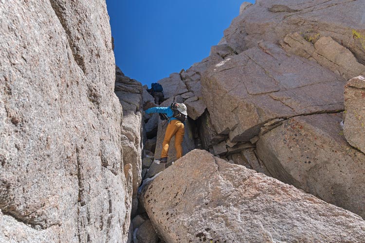
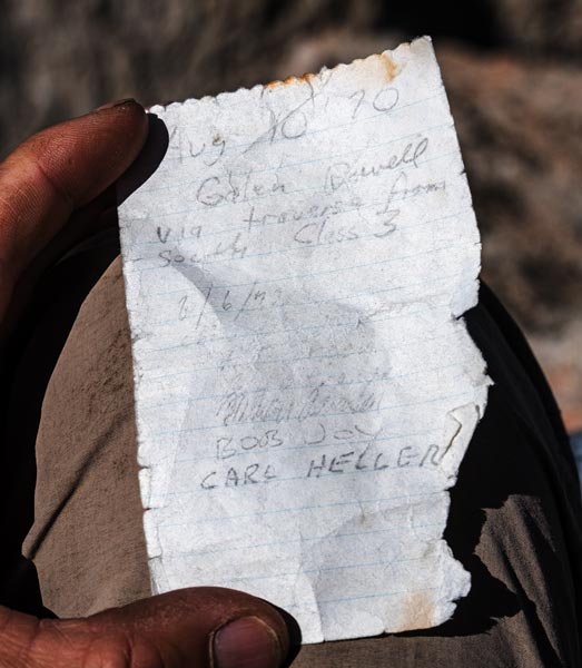
This steep section of the gully had a fixed length of webbing of dubious quality (a bit faded, but not crunchy). Starting from the bottom made it hard to inspect the quality of the anchor and upper reaches. It survived a yank test and we used it either to pull up past the icy crack or at least as mental security as we gingerly climbed up. Above that there was a short chimney bit that also had a bunch of fresh snow making things insecure. Mason was having issues with his new shoes not feeling secure at all. Above the chimney there was a steep dihedral that also had snow - and was pretty slippery. I ended up doing more of a mantel on the side and Iris somehow weaseled her way up it. Mason's foot slipped and he wasn't feeling it - plus he had already climbed this peak - so he decided he had gone far enough. Iris and I continued on up carefully on the snowy rocks to the dry summit. We enjoyed the view and signed the register and then headed down. We went down to the top of the waterfall pitch with Mason and he used my ~35 ft chunk of 7 mil cord to rap down. Then I pulled it back up and we went up a bit to start the traverse to Corcoran while he went back to head to Mallory and Irvine.
 |
|---|
 |
|---|
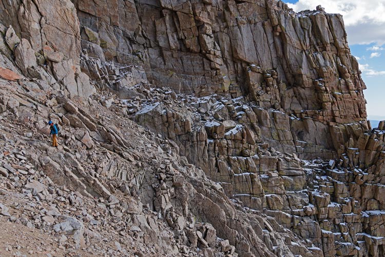
The traverse to Corcoran involved going around a number of ribs and dropping down a bit before heading up to the summit. The start of the traverse was on a N facing slope so it still had quite a bit of fresh snow. This required careful footwork and went slowly. Then we got to the arete and back into the sun and as we hoped most of the snow was already melted away. This made things a lot safer and faster. We followed cairns around to the south and then they disappeared. We knew we had to drop down and we saw a cairn down there and headed that way. We didn't see any more cairns, but the tracks suggested we had to drop down more - so we did and saw a cairn going around the next rib. We repeated this with the next bit, except we had to drop down even more. In general there were cairns where you traversed around each rib, and if you didn't see a cairn, you had to drop down more. It was slow going. Eventually it was time to start going up again. I overshot and did some probably class 4 or easy 5 to get up, Iris was able to keep it a little easier cutting up earlier. Then we cut across the S face of this rib and then cut one more rib over before heading nearly to the top of the gully before turning N up to the summit of Corcoran. This took nearly 2 hours from the summit of LeConte, but we were going pretty slowly for multiple reasons.
 |
|---|
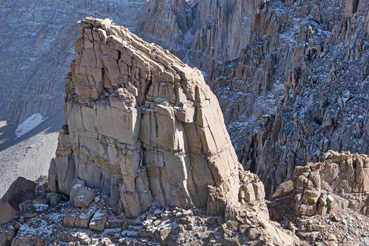
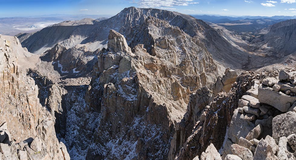
The view from Corcoran was pretty good, especially to the S overlooking the Sharktooth which I climbed along with 2 other peaks between it and Langley in the Sierra Challenge in 2017. We ate some much needed food, and then headed back. The return went a little faster since we mostly knew where to go, but still not very fast. Then we found a slightly better traverse across the snowy section and descended the waterfall pitch. Iris rapped down and I carefully climbed down. Once I got set it was easier than the ascent because the snow/ice in the back of the crack had melted out. Then we dropped down and headed back up to the ridge between LeConte and Mallory. There we had to make a decision - head on to try to do Mallory and Irvine - which would for sure result in a lot of headlamp time, or bail back down the way we came up. In favor of continuing, we had plenty of warm clothes and headlamps, con, it was cold, we didn't know what the snow conditions were and hadn't been on that route before, and we would probably end up in the dark anyway. After some hemming and hawing we decided that heading down was smart, so down we went. As it was we were barely down the worst part of the way we came up before it was dark. We also saw Mason's footprints heading down this way - it turns out he did Mallory and then decided that the snow amounts plus his new shoes dictated a descent.
 |
|---|
 |
|---|
 |
|---|
We continued down by headlamp past Meysan Lake and up and over to the trail back down to camp. It seemed to take a long time, but at least was a little warmer as we got a bit lower and out of the wind. Back at camp we talked to Mason, cooked up dinner and then went to bed.
2024-09-22 We slept in a bit, but still got up before the sun hit the tent (it was hiding behind Lone Pine Peak). Breakfast was had, the sun hit us, tents were taken down, packs were packed, and we headed down. Downhill was a bit easier and faster than hiking uphill, but we made no speed records. I picked up a few more pinyon nuts, but also got pitch on my fingers. ugh. Mason took off as soon as we got back, he had a long way to drive. We sorted and packed stuff a bit in the cooler higher elevation and I picked up a few more pinyon nuts. Then we drove down to a spot for a rinse plus cold therapy in the shockingly cold creek. Then into Lone Pine for lunch before Iris headed south (she had to go in for work the next week) and I headed back north.